
 |
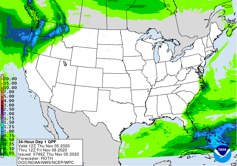
| National rain forecast for today. It's quite unusual to see almost all of the continental United States rain and snow free this time of year. |
Record high temperatures have hit, or are about to hit, from the Rockies to the Northeast.
One of the biggest temperature recoveries has to be in Laramie, Wyoming. It got down to an incredible 26 below zero there on October 27. That was the coldest temperature on record there for both October and November.
Just six days later, on November 2, Laramie tied a record high for the date with 66 degrees. The first seven days of November in Laramie will all be in the 60s. Normal temperatures there for this time of year are highs in the upper 40s and lows in the lower 20s).
The northern Plains States have embraced some pretty intense warmth for November after that terrible late October winter spell. In South Dakota, where temperatures were in the single numbers in late October, readings reached record highs of near 80 degrees on Wednesday.
Here in Vermont, the temperature swings aren't as dramatic, but we're still now firmly in a warm spell after the early week winter blast. This warmth will only intensify by the weekend, and a few spots could reach 70 degrees. That's near record territory. That kind of warmth is very odd, but not unprecedented for mid-November.
Yesterday in Burlington, after starting out at 30 degrees, we reached 56 degrees under clear skies. This morning, it's interesting to see what south winds can do to temperatures. In Burlington, Vermont, where a steady south wind was blowing, it was a balmy 53 degrees at 6 a.m. this morning. That's warmer than the the normal high temperature for the date.
But east of the Green Mountains, where winds are calm and skies are clear, it cooled right down overnight. It was just 27 degrees in Morrisville at 6 a.m. Temperatures will even out in the low to mid 60s this afternoon.
November is usually a stormy and cloudy month for the United States but we're also getting an odd break from that right now. The only rain in the forecast anywhere in the United States is in the Pacific Northwest and in southern Florida.
 |
| This being November, the nation won't stay free of rain and snow for long. This is the precipitation forecast map for the next seven days. |
There is also very little cloudiness for this time of year in the continental United States.
This being November, the storm situation will quickly change. A revived former Hurricane Eta might affect Florida as a tropical storm this weekend.
Also, a strong storm is forecast to affect the Pacific Northwest and northern Rockies by the weekend. The stormy weather will then head east across the nation.
Some rain is expected to spread through most of California within the next seven days. That's the first wet weather most of the state will have had since last spring.
They're getting into the autumn and winter rainy season. With all the wildfires this year in California, I'm sure everybody there will be grateful for the wet weather.
Here in Vermont, we don't expect any precipitation until Tuesday at the earliest. That's a remarkably long stretch of dry weather for November. There's usually some rain or snow pretty much every other day at least around here this time of year.
So enjoy this long stretch of mild, possibly record warm weather now through Tuesday. It will be the last time you experience such a nice stretch of weather in the Green Mountain State until next spring.
No comments:
Post a Comment