
 |
| With all the rain we've had, some of my St. Albans, Vermont gardens have gotten overgrown. Hope to get outshone and thin some of that out. If we have some rain-free time to do it. |
Vermont was on the edge of much more in the way of flood and wind damage in parts of New Hampshire and Massachusetts.
Today won't be nearly as rough, but there are some interesting weather happenings to talk about. More on that in a bit.
FLASH FLOODING
We noted early Friday afternoon there was a risk of possibly significant flash flooding in southern Vermont. Sometimes, significant is in the eye the beholder, but the torrential downpours caused their share of problems in and near the lower Connecticut River Valley.
Some of the reports include a road washout near the intersection of Sioux Drive and Clinton Street in Springfield; water was over the roads on Route 106 and Tarbell Hill Road in Amsden; and Whitney Road in Chester was closed at both ends due to flooding.
Over in New Hampshire, flooding was more widespread, and there were also numerous reports of trees down and large hail. Contoocook, New Hampshire had 4.56 inches of rain. Hillsborough, which had flooding issues, received 4.25 inches, and 3.25 inches of that came in just an hour and 45 minutes.
Rainfall Friday in Vermont ranged from pretty much nothing in the far northwest corner to a lot in the southeast, where we had the flooding. My unofficial rain gauge in St. Albans, Vermont, collected only 0.1 inches of rain Friday. Burlington was a little heftier at 0.36 inches.
TODAY'S RAIN
The same rain pattern will hit today: Dry northwest, soggy south in Vermont. The far northwest corner of Vermont has a shot of breaking the streak of consecutive rainy Saturdays. It might not rain at all today in places like St. Albans and Alburgh and Richford.
Central and southern Vermont, sorry. More wet weather. A big slug of moisture was heading into that part the state just after dawn, and a period of rain, some of it heavy should lumber through southern Vermont through the morning and probably at least partly into the afternoon.
Far southern Vermont is not yet out of the woods for flooding.
Flood watches are in effect until mid-afternoon today for Bennington and Windham counties.
Even after the main slug of rain has passed later, a few widely scattered showers and garden-variety thunderstorms could pop up through the afternoon and early evening almost anywhere in Vermont. But again, least likely over the northwest.
RAINY WEEKENDS
Back north, if it rains in Burlington today - and it will likely at least sprinkle there early today - it will be the 25th weekend in a row (Saturday and/or Sunday) with at least a trace of rain or snow. The last completely dry weekend was December 14-15, 2024, according to data compiled by WCAX-TV meteorologists
That'll make it the third longest stretch of consecutive wet or wet-ish weekends on record. The two longer ones go way back, says WCAX. There were 26 consecutive weekends in a row ending on March 15, 1919 with rain or snow. The winner is 30 consecutive weekend ending on March 15, 1919.
Interestingly, WCAX found that in the list of top ten most consecutive wet weekends, the current stretch is the wettest. There's been 8.71 inches of rain and melted snow in our 25 weekends. All other long stretches of damp weekends, including 1935, had less than that.
SMOKE AND SMOG
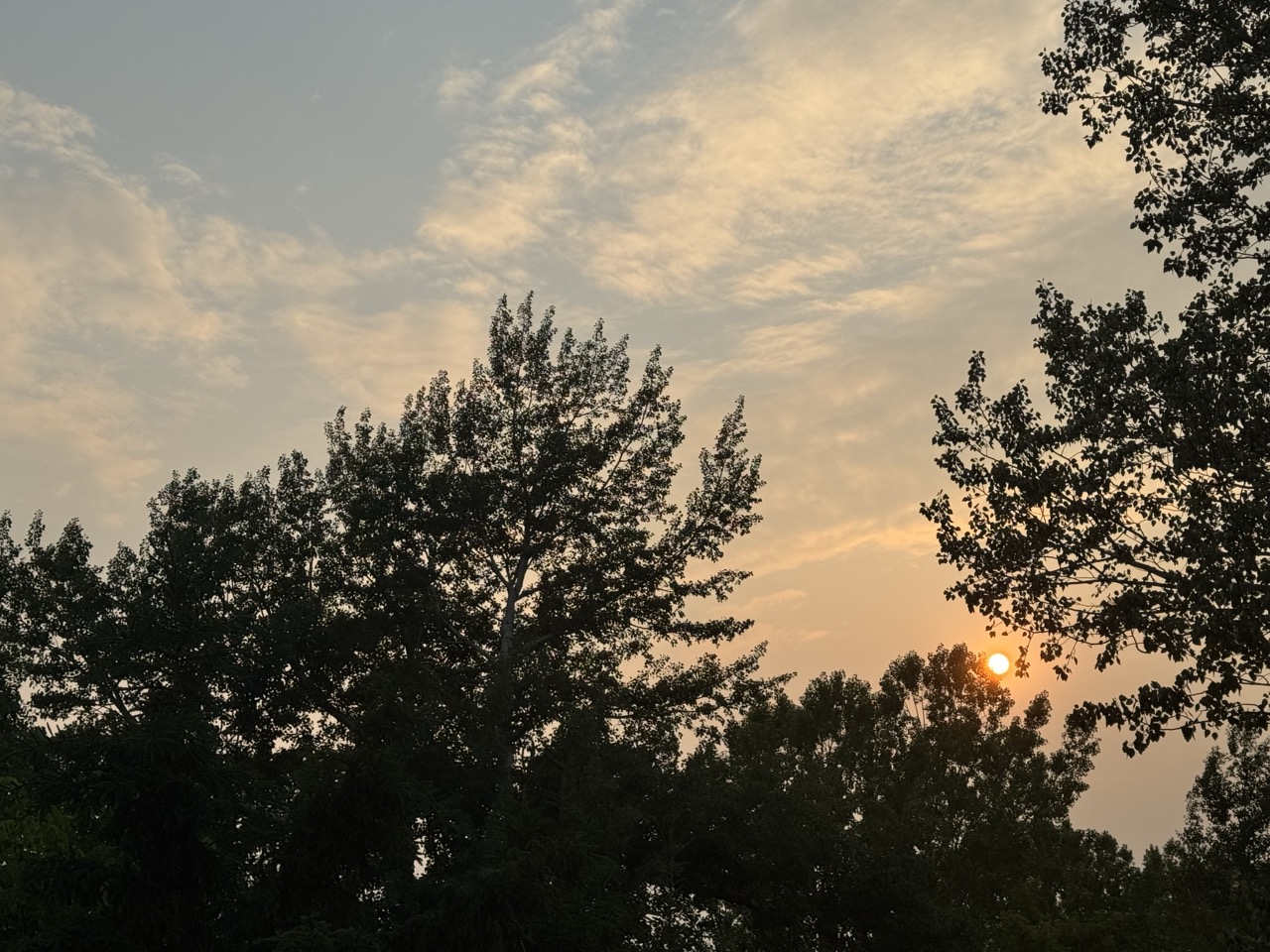 |
| Skies partly cleared Friday evening over St. Albans, Vermont, revealing a still-smoky atmosphere from Canadian forest fires. An air quality alert is in effect today for central and northern Vermont due to the continued smoke drifting down from Canada. |
It was actually smoggy early this morning, with areas of dense fog mixed with some smoke. It smelled like a smoldering campfire around here in St. Albans last evening and this morning.
The early morning fog will probably have lifted by the time you read this, but the smoke, not so much.
An air quality alert that as in effect for far northwestern Vermont yesterday had been lifted temporarily overnight.
Based on wind and smoke forecasts, the Vermont Department Of Environmental Conservation and the National Weather Service has for today re-issued the air quality alert for a larger portion of Vermont.
The new air quality alert covers all of Vermont north of Addison and Orange counties through today.
Heavier smoke was lurking in southern Canada and northwest breezes today were expected to drive that southward. As of 4 p.m. Friday two of the five most air-polluted major cities in the world were Toronto and Montreal, because of all that smoke from the fires up in Canada.
SUNDAY AND BEYOND
Sunday in Vermont looks rain-free. Hallelujah! It will be a nice day. Sunny for the most part, comfortably warm, humidity safely on the very low side.
The now seemingly ever-present Canadian wildfire smoke will still linger in the air, dulling the blue skies into a grayish haze. But the sun will still be out, even if the smoke gives it a bit of a weird copper tint.
The rain-free weather Sunday and probably Monday will dry things out a bit for the next round of rain hit by around Tuesday. It's still a bit soon to determine how hard it will rain Tuesday and who precisely will get hit by it.
Stay tuned, as usual!
No comments:
Post a Comment