Showing posts with label Champlain Valley. Show all posts

Wednesday, March 22, 2023

Snow Cover, Terrain Cheated Champlain Valley Out of A Gorgeous Spring Day Today

Bare ground around Bennington, Vermont helped 
temperatures warm up to 61 degrees there Wednesday afternoon.
 You start to get these days in March. Where it really warms up and you think spring is on the way. 

It was 61 degrees in Bennington. Rutland was 55 degrees. Even in northern Vermont, Montpelier managed to reach 50 degrees. All these readings were warmer than forecast. 

The Champlain Valley, though, was stuck in the low 40s all day. Though that's not terrible, the Champlain Valley is usually a banana belt region of the state, Is usually not the ice box of Vermont. What happened?

It was mostly a mix of snow cover and terrain.

The snow is pretty much gone in Bennington. Around the valley floor in Rutland, the snow cover is  patchy at best. In the Champlain Valley, there's certainly bare patches. But there's still quite a bit of snow on the ground, and parts of Lake Champlain are frozen. 

The Montpelier area still has quite a bit of snow on the ground. But the chillier air hugging the ground in the Champlain Valley couldn't quite make it over the mountains to Montpelier, so even they were relatively warm. 

Several thousand feet above us, winds were from the south today.  That warmed the atmosphere, making it possible for low elevations in much of Vermont to warm up. Especially where snow cover is lacking. 

Bare patches are forming, but snow cover in the northern
Champlain Valley was one ingredient that helped
that part of the state stay chiller than the 
rest of Vermont. 
Meanwhile, dense cold air hugging the ground in Quebec was able to easily flow southward into the Champlain Valley. 

It was partly the weight of this dense air that prompted north winds that pulled the chillier air into the space between the Adironadacks and Green Mountains in northern Vermont, 

Strong March sun would have heated bare ground, helping to beat back the cold air from Quebec. 

But the snow and patches of lake ice reflected the sun's heat to some extent, so the northern Champlain Valley could only reach the low 40s. 

It was still nice, but it was not the gorgeous snow melter that at least I hoped for. 

The snow cover outside my St. Albans, Vermont home is interfering with outdoor work I want to get going on. Today's insistence on relatively chillier air is, in my worst moments, has me thinking the snow cover here in permanent. (Not really) Especially since we have a chance of more snow this weekend. 

This cold dense air might have some implications late tonight as the next storm moves in. As I noted this morning, the precipitation should be exclusively rain. But lingering cold, dense air could open the door for a bit of freezing rain in the pre-dawn hours Thursday. 

This won't amount to much, and stiff south breezes should scour out the cold-ish air out of the Champlain Valley by daybreak. 

Tuesday, February 28, 2023

Today's Storm Over-Performed In Northern Vermont; Will End Very Soon

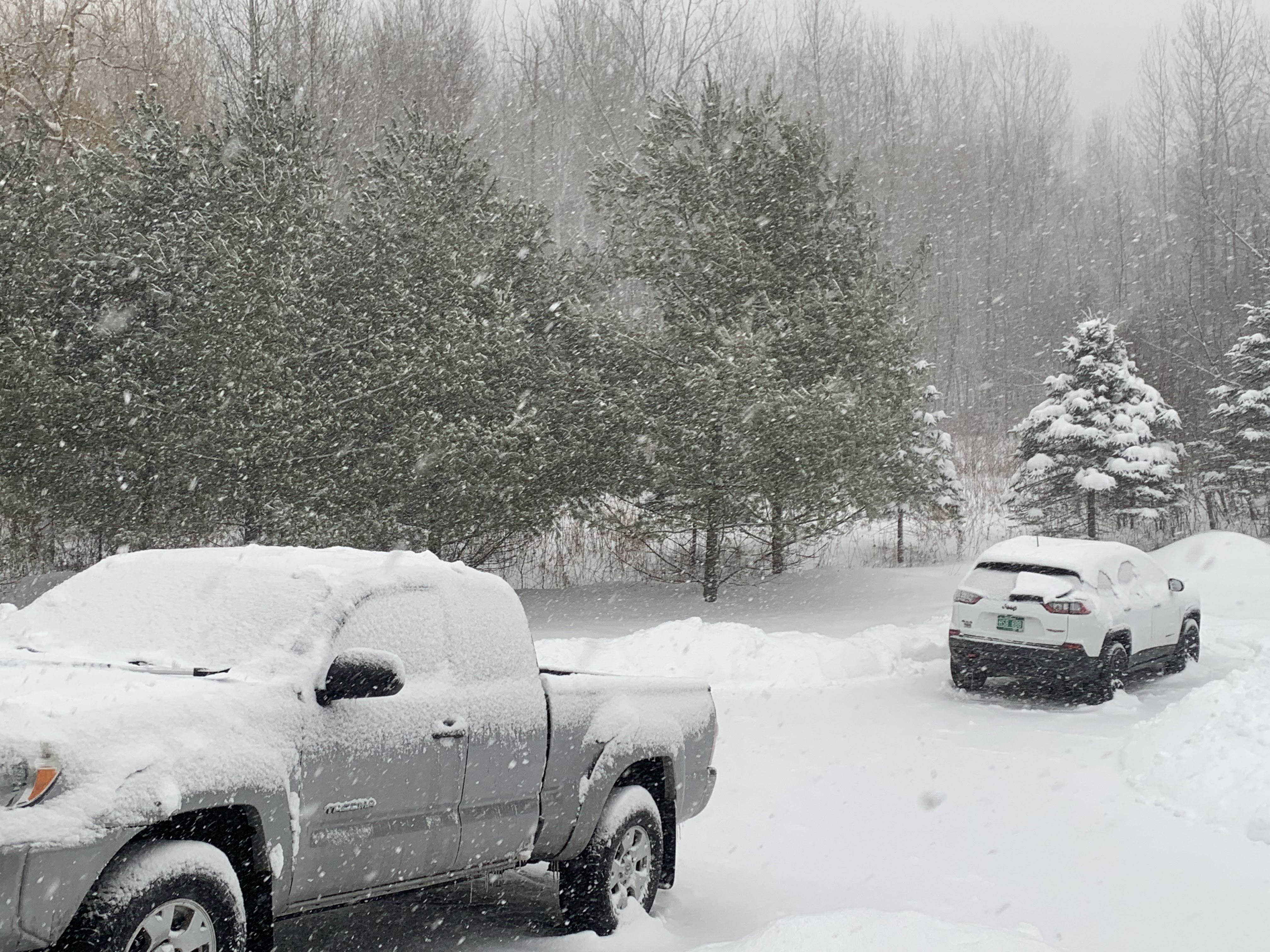
After I'd shoveled about three inches of snow off my 
driveway and truck this afternoon, another burst
of snow dumped an additional 1.5 inches of fairly
wet snow on the driveway.
 The supposed "nothing burger" snowfall today turned out to be more than that, at least in parts of northern Vermont. 

Instead of the sporadic periods of wet snow, mixed with rain that would only amount to an inch or two, it snowed all day north of Burlington. As of 5 p.m. today 4.4  inches of snow had accumulated at my place in St. Albans, Vermont. 

That includes 1.6 inches within two hours ending at 5 p.m. (The 1.6 inches was about the forecast entire storm total in forecasts issued yesterday).

Snowfall reports elsewhere in Vermont are pretty scant today. As of 1 p.m., Burlington had received 2.3 inches of new powder. That's a little more than what had been forecast yesterday, but very much in line with what updated forecasts issued early this morning had indicated. 

Other reports I've seen are: 7 inches in Randolph Center;  6 inches in South Strafford, Vermont as of 4:20 p.m.; 4 inches in Morrisville and just 1.5 inches in Rutland. 

In central and southern Vermont, things had pretty much ended by 4 p.m. Judging from Vermont Agency of Transportation, main roads looked pretty good. In parts of central and especially northern Vermont, your current commute home is looking rather icky. 

The snow seemed to be tapering off early to mid-afternoon along and north of Route 2, but a new burst of moderate snow began around before 4 p.m.  Traffic cams showed iffy roads across the north, and that should continue a bit into the evening. 

Luckily, temperatures have warmed into the low 30s, so road salt is working pretty well.

Even better, radar imagery as of 5 p.m. indicated the last band of moderate snow was getting ready to leave northern Vermont. After this goes, we'll just have light snow showers tonight. We won't see much additional accumulation, if any. 

NEXT 2 DAYS

Warmer valleys in Vermont should actually melt a little of the snow tomorrow and Thursday as temperatures climb well into the 30s to near 40.  It still looks like a bit of rain and snow will come down Wednesday night and Thursday, but it won't amount to much. 

A Vermont Agency of Transportation web cam captured
a state snow plow clearing Route 2 in Cabot as a 
school bus followed behind. Today's storm 
over-performed in parts of Vermont. 

WEEKEND STORM 

We still don't have much news to report on a potential larger storm that could come in Friday night and last into Saturday. 

The potential is definitely there for a good dump of snow, but the computer models are still not singing from the same page on this one. 

We could still see mixed precipitation, but it sort of seems like the scenario is leaning toward snow. It's still not clear at all if Vermont will see heavy snow out of this, and if so where. It definitely could happen. 

In many years, the largest snowstorm of the winter strikes in March.  Think Superstorm, 1993, Big snowstorm of March, 2011, and the Pi Day Blizzard of 2017.  

We won't have a storm anywhere as big as those epic storms, but the possibility is there that Saturday could bring us the deepest snowstorm of the winter. I know that's not saying all that much this year.