
 |
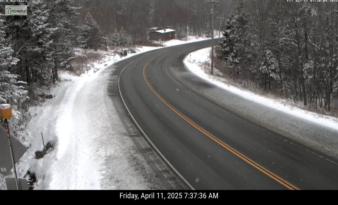
| Another snowy April morning in parts of Vermont today. as this traffic cam view of Route 9 in Marlboro, Vermont shows. More snow is due in parts of the state on Saturday. |
Spring keeps trying to advance in Vermont, but lately, it's been tough, with plenty of setbacks.
Yesterday morning in Montpelier, it got down to 16 degrees, a record low for the date, beating out the 17 degrees set in 1997.
The snow depth near the top of Mount Mansfield reached 92 inches yesterday, which was actually seven inches deeper than it was at the start of the month.
In parts of southern Vermont, it snowed again last night. Traffic cameras indicate the high elevations got somewhere around an inch of snow. Even valley floors in southeastern Vermont, like around Brattleboro, got a slushy coating.
And there's more snow on the way.
SATURDAY
 |
| Yes, we have to post yet ANOTHER snow prediction map for Vermont. April does not spell the end of this in the Green Mountain State. Some high elevations of southern Vermont could see four or five inches tomorrow. Northern areas mercifully lose out on snow chances. |
It will also be cold enough for snow. Low elevations in southern Vermont could pick up another inch or two of snow out of this, while high elevations could go as high as four or five inches.
The band of precipitation will weaken as it heads north and northwest during the day, so snow amounts will diminish the further north you go.
Plus, lighter precipitation doesn't help cool the air as much as heavier rates do, so chances are a lot of this will be rain in low elevations central and north.
By the time you get into the central and northern Champlain Valley, and near the Canadian border, the band of inclement weather will have weakened so much that very little rain or snow will fall. If any.
This state of affairs will make for some "backwards" Saturday temperatures. The coldest part of Vermont will be in far southern parts of the state, where highs might well just stay in the 30s. By the time you hit Montpelier and Burlington, it'll get up into the 40s.
Way up north, up by St. Albans, Highgate. Alburgh and over to Newport it could reach 50 degrees.
BRIEF SPRING BREAK
We'll get a very brief break from our winter in April Sunday and especially Monday. It's now looking like the sun will want to come out Sunday in most of Vermont, which would bring us up into the seasonable low to mid 50s.
Monday looks like it will get into the pleasant low 60s in many valley locations, and well into the 50s elsewhere. So pretty nice. Don't count on it lasting.
WINTER NEXT WEEK
Another cold front will bluster through on Tuesday, dropping our temperatures back below normal again for the middle of next week.
Tuesday might start out warm-ish but a cold front will probably bring rain Tuesday, then perhaps some snow showers by Tuesday night and Wednesday, especially north and mountains. As it looks now, highs Wednesday will only be in the 37-45 degree range, again, pretty chilly.
WHY THE CHILL
Ironically, our bouts with April chill are a bit of a sign of spring. The polar vortex, a swirl of intensely cold air takes up residence somewhere in the far north every winter. Its position relatively close or far away from us determines whether it's cold or warm around here,
Every spring, usually around mid-April, the forces of spring disrupt the polar vortex and it kind of disappears and goes into hibernation for the summer.
This year, that disruption happened earlier than usual - in mid March. When the polar vortex gets wrecked like that in the spring, it can change the jet stream to push cold air into the eastern United States and parts of northern Europe.
That's what happened here. Since the polar vortex mess happened early this year, the resulting cold air up here in New England was more noticeable than it would have been later in the spring.
Normal temperature are rising rapidly this time of year, so in general, each cold front will create less of a sting as we move forward through the month.
There's mixed signals as to whether we'll see any sustained warmer weather for the last two weeks of April. Many forecasters think the effects of the polar vortex's spring demise will fade by late April, and we'll be able to get on with our regularly scheduled springtime.
We deserve it.
No comments:
Post a Comment