Showing posts with label deep. Show all posts

Monday, March 3, 2025

Mount Mansfield, Vermont Now Has More Snow Than It Has In Seven Years; And Did Lake Champlain Freeze?

Matthew Parrilla's Mount Mansfield snow chart
shows the depth is well above average for this
time of year. Red line is this year, black line
is average. 
 While the amount of snow on the ground in most Vermont valleys has diminished a little due to recent thaws, the flakes keep piling up atop the state's highest peak. 

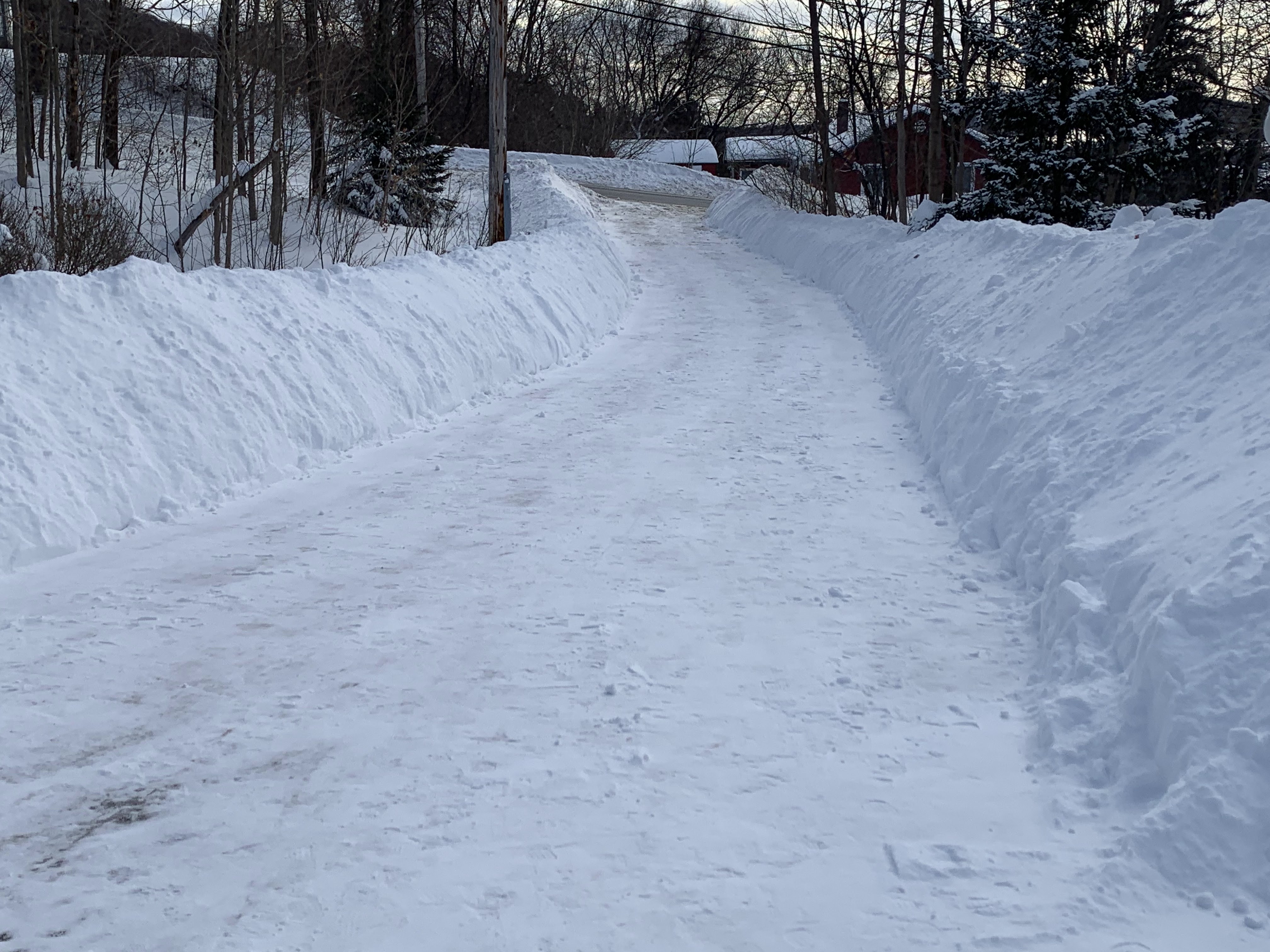
As of Saturday, there was 102 inches of snow on the ground at the stake on Mount Mansfield, not far below the summit. 

It's the second highest snow depth on record for that date atop the mountain. They've been keeping track of the snow depths up there since 1954.

This is the first time snow depth has exceeded 100 inches since April 18. 2019, when late season mountain snows brought the depth up above 8.5 feet. 

It looks like the April 18, 2019 figure hit as the snow on Mount Mansfield was just beginning to melt. A few weeks earlier, the snow depth was right around 119 inches. 

Judging by Matthew Parrilla's excellent Mount Mansfield snow charts, the deepest snow on record atop Mount Mansfield was around 145 inches around April 1, 1969. 

By Sunday, the snow depth on Mount Mansfield had increased to 103 inches. That might be a peak depth, but perhaps only a temporary one. 

Rainfall is expected even at summit level Wednesday and part of Thursday which would settle the 102 inches back somewhat. However, the snow depth on Mount Mansfield typically peaks around the third or fourth week in March. 

  Even if some of the snow melts or settles this week, more snow later in March could bring the snow depth to even more than they have now. 

LAKE CHAMPLAIN

Satellite view from Sunday shows a snow-covered
northern New England. That dark patch of blue
is an ice-free area of Lake Champlain Sunday afternoon.
Early this morning, we're waiting for new satellite
photos to determine if any or all of that open
water froze over last night and early this morning. 
If Lake Champlain didn't freeze over in last night's calm, frigid weather, it won't completely freeze over this year.

It came close in mid to late February, when only small open pockets were visible on the broad lake. Last week's thaw left a huge section of the broad lake open by Sunday ice-free, as satellite photos under Sunday's clear skies revealed. 

However, the water temperature is right near 32 degrees, so that big area of ice-free water could entirely freeze. It's unlikely, given it was such a huge area, but it could.

As temperatures plunged to near and below zero, skies remained clear. Those clear skies will help later this morning as satellite photos will be able to tell whether the lake froze over. 

An early look at the satellite photos ag 8:15 a.m. today seemed to indicate there was still open water in Lake Champlain this morning, but I'll update if I receive any confirmation later. 

If the lake didn't freeze over by early today, it won't this season.  Even though it will be below freezing today, enough sunshine and light breezes will prevent a daytime freeze over.  Then, a big warm spell is due midweek, which will erode away more of the lake ice.  

The last time the lake completely froze over was on March 8, 2019. The lake has never frozen over later in the year than March 11.

Tuesday, February 18, 2025

Vermont Snow Cover Likely Deepest In Years

House in St. Albans, Vermont slowly disappearing behind
big mounds of snow. A couple piles on the edge
of my driveway are now seven feet tall.
The weekend snowstorm brought the amount of snow on the ground in most of Vermont to the deepest level in years.  

Snow cover is now arguably the deepest it's been since either 2017 or 2019 in much of Vermont. Maybe even before that in a few spots. 

A large number of Vermont towns have at least two feet of snow on the ground. A few towns are at or above three feet. Greensboro reported 39 inches on the ground Monday morning. Westfield had a 38-inch snow cover while Sutton had a mere 34 inches.

In Burlington, the snow depth reached 19 inches on Monday. The last time Burlington had a deeper snow depth was on one day, March 15, 2017, the day after the big Pi Day Blizzard that year. The deepest snow cover on record in Burlington, by the way, is 33 inches. 

Up near the top of Mount Mansfield, there was an impressive 95 inches of snow on the ground, compared to the average for the date of 61 inches. Only four of the past 70 winters had more snow at the Mount Mansfield stake on February 17 than this year. 

Very little snow is in the forecast for the next several days so those deep totals will probably settle a few inches this week. On the other hand, temperatures are forecast to remain below freezing until probably Monday. And even then, it'll only get into the 30s. 

As irrefutable proof that I am indeed 100 percent bat
crap crazy, yes, I hand shoveled this snow canyon
that is my driveway in St. Albans, Vermont. 
The snow cover has been aided by a lack of thaws. It has only reached 40 degrees twice this year so far in Burlington. The last time it happened was on January 18. when it barely reached 40.  With only brief mini-thaws, the snow cover has been able to build and build. 

The snow is deep, but we're not breaking any records here in Vermont. 

Way back in 1829, according to David Ludlum's Vermont weather book, there was 60 inches of snow on the ground in Newfane. 

After a large February snowstorm in 1952, the mid-February snow depth reached 40 inches in Northfield and 48 inches in Somerset. 

The record snowy winter of 1970-71 led to some incredible snow depths by early March. Orange, Vermont 88 inches of snow on the ground on March 7, while Montpelier reached a depth of 70 inches. 

We have time this winter to build up a deeper snow cover if more storm comes along, but the season is now working against us.

As average temperatures warm as we head toward the month of March and spring, it's getting easier and easier for temperatures to rise above freezing. 

The normal  high temperature in Burlington on February 1 was 29 degrees. Today, February 18, the average is 32 degrees. By March 1, a normal day in Burlington would bring a high temperature of 36 degrees.

Your yard my be buried beneath two or more feet of snow right now, and your snow banks might be taller than you are.  Believe it or not, though, it won't be long before you see the grass on  your lawn again. 


Thursday, December 17, 2020

Historic Snowstorm Across Southern Vermont Today

 I've often said after quite a few storms in recent months and years that it "over performed," meaning it was more intense than expected.  

Today's storm was easily the definition of over performing. Scroll past ads for much more, if they get in the way.

In southern Vermont, this will go down in history as one of Vermont's biggest and most intense snowstorms on record. 

As of 4 p.m., I don't think all the totals are in, but they are impressive. At a 1,800 foot elevation in Ludlow, a whopping 44 inches of snow fell.  That's awfully close to the single storm record in Vermont - 50 inches in Readsboro in March, 1947. 

Via Twitter. A parking lot at Okemo Ski
Area in Ludlow today. There are two 
trucks buried in the foreground.
Some of the other impressive totals reported today in southern Vermont include 42 inches in Landgrove, 39 inches in Windsor and 38 inches in Springfield. 

Even more remarkable was how much snow managed to fall in such a short period of time. Almost all the snow fell in just an 18 hour period. 

 Snowfall rates in some of the hardest hit towns was probably three or four inches per hour, which is almost unheard of. Especially since those rates sustained themselves for three or four hours or more. 

An example: West Rutland reported 27 inches of new snow. My sister in West Rutland reported the snow depth went from six inches to 20 inches in just over three hours. That's a snowfall rate of roughly 4.5 inches per hour!  

An intense band of snow, caused in large part by converging wind and air masses on the northwest flank of the storm, caused this intense snow.  The storm also had a lot of moisture to work with from sources in the Pacific, Gulf of Mexico and the Atlantic Ocean. 

The cold air in place ensured the snow was light and fluffy, so it would accumulate faster. 

It's pretty common to have a band of heavier snow pretty far to the northwest of a coastal storm.  The unusual thing here was how intense this snow was.  Especially considering that in the grand scheme of things, the parent storm was not especially intense. 

I'm hoping somebody much smarter than me in meteorology can explain in more detail why this storm was so special and wild and extreme.  Any takers? Please reply. 

If you were outside the band, amounts tapered off quickly. Pittsford, Vermont got 14 inches of snow, about half of that down in West Rutland, which is just ten miles away.  

Central Vermont got pretty much the expected two to six inches of snow. While southern Vermont is guaranteed a white Christmas, not so in the northwest corner. My place in St. Albans, Vermont mustered just 0.2 inches of snow. 

The snow band that produced the incredible snows in Vermont extended west and southwestward through the Capital District of New York and on into southwestern New York and central Pennsylvania.  There were numerous reports of 30 to 40 inches of snow in this band. 

All that snow in Vermont and in most of this band of huge dumpage was powdery, so power failures weren't much of a problem. As of mid-afternoon, no real power failures were reported anywhere in Vermont. 

The powdery nature of the snow also means it will settle quite a bit  Places that had three feet of snow today will only have perhaps two feet on the ground by the weekend, without any melting. 

Some thawing will occur Sunday through Wednesday, but it won't be that warm. Which means snow blasted southern Vermont is in for a white Christmas, as noted above.

One more thing to watch: Late this afternoon, skies were clearing. When there's an unusually deep, fresh snow pack, temperatures can really plunge if skies are clear and winds are light. Cold spots in southern Vermont could get way, way below zero tonight. 

Contrast that with areas of northwestern Vermont where little snow fell. Up in places like Burlington and St. Albans,  expect temperatures in run of the mill December lows of 5 to 10 degrees above zero. 

After today, there won't be any really exciting weather to talk about for at least a week. Some fast moving, moisture-starved systems will come through from time to time, bringing gusty winds and just light rain and snow showers. 

It's possible things could get "interesting" in one way or another around Christmas Day, but it's too soon to know for sure. 

Videos. Click on the YouTube logo on each video to make them bigger and easier to seel. 

First one: This morning in Belmont, Vermont.  


Letting the dogs out this morning in Chester, Vermont: