
 |
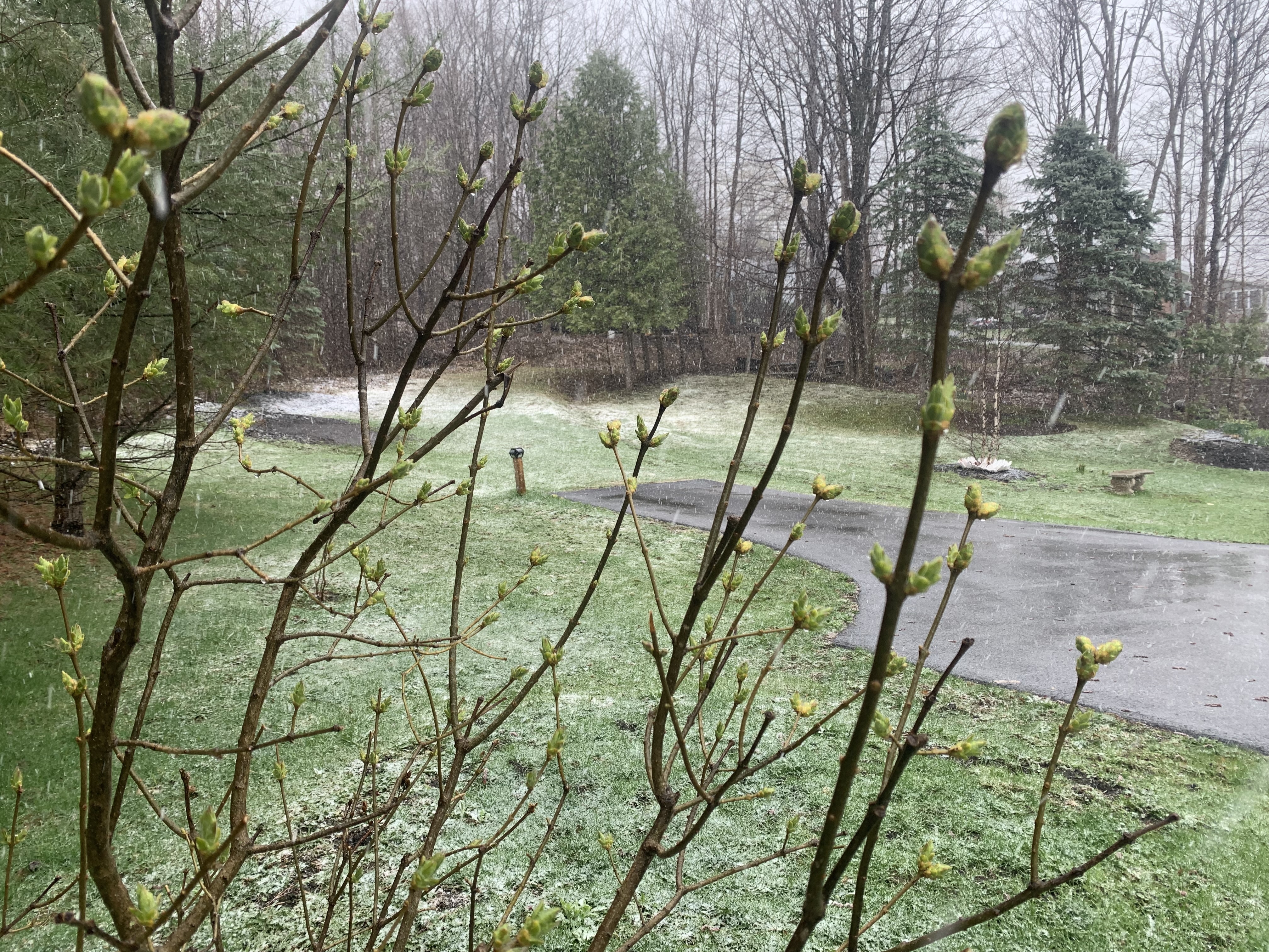
| A spring snowfall surprised me in St. Albans, Vermont this afternoon. As you can see, accumulation wasn't much, but I'm still hoping this is the last snow until November. |
It snowed all afternoon here at my hacienda in St. Albans, Vermont, perched part way up St. Albans Hill at an elevation of about 630 feet above sea level. Light rain showers had been expected here, and that was the state of affairs until shortly before 1 p.m. when I began to notice snowflakes.
Snow then came down rather heavily at times through the afternoon. There's a slushy coating on the ground as I write this. So far, I'm calling it 0.3 inches of new snow. I thought we were done with this! But Vermont weather always surprises.
Meanwhile, just a little south in Milton, Colchester and Burlington, people wondered what all the fuss was about. It didn't even start raining there until late afternoon, never mind snow.
In northern New York and northwestern Vermont, it appears a pocket of deeper moisture swung around down from Quebec across this area. That meant heavier precipitation in this little corner of the North Country. This heavier precipitation helped cool the air, so snow aloft made it down to the surface.
For much of the afternoon, many relatively high elevations of the Green Mountains were still getting rain, mixed with a little snow. Although it was consistently snowing across the mountain peaks. Vermont Agency of Transportation web cams showed just rain along high elevation Route 17 in Buels Gore. Route 302 up high in Topsham was just changing to snow as of 4:15 p.m.
Route 105 in Jay was solidly in the snow, though, and it looked like at least an inch of accumulation there by 4 p.m.
The expectation, or at least the hope, is the precipitation in northwest Vermont will gradually become more oriented to higher elevations as the night goes on. That would be good, because another late season heavy snow will cause more damage to my gardens. If the precipitation lightens up in low elevations, as expected, it might actually go back to rain briefly before turning back to flurries.
As I wrote this at 5 p.m. it was still snowing in St. Albans, but it had pretty much tapered down to flurries by then. Radar trends seemed to be indicating the snow was indeed starting to become more focused toward the mountains, and was trending a little lighter in northern New York and the northern Champlain Valley
 |
| A surprise spring snowfall dusts a perennial garden in St. Albans, Vermont in a most unwelcome way. |
That the snow was beginning to spread into the central and northern Green Mountains pretty well by late afternoon.
That part was expected. I wouldn't be at all surprised if the summits of the central and northern Green Mountains have storm totals of four to six inches, maybe even more, by tomorrow morning.
The stalled storm that is causing this wintry weather will pretty much stick around through Saturday, but luckily, things won't stay as bad as they were today, at least in some parts of Vermont.
Snow showers will go on every day through Saturday in the Green Mountains, but they will be relatively light and won't add much to the accumulation up there. Valleys, especially in the northern half of Vermont ,stand the chance of a few rain drops or snowflakes daily into Saturday. But that's about it.
Still, there will be quite a few clouds around temperatures will stay well below normal and gusty northwest winds through Saturday will make it seem even colder.
Forecasts still call for weather more in keeping with the season starting Sunday.
No comments:
Post a Comment