
 |
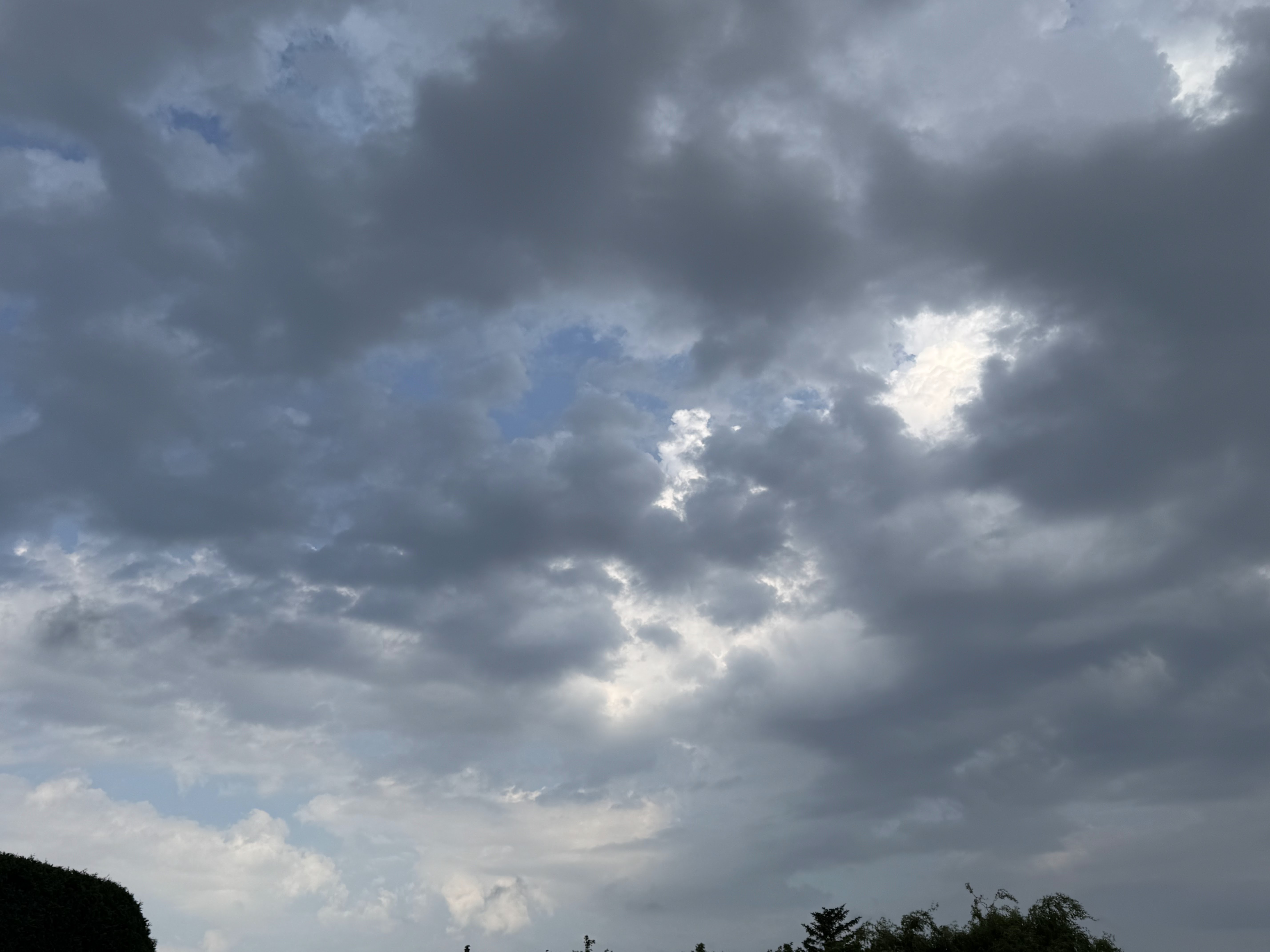
| The sky over South Burlington, Vermont looked pretty unstable this morning, hinting at how the lingering warmth and humidity will trigger additional rounds of scattered storms today. Northern New York today looks most at risk for local flash floods. |
Let's get run through today's headlines and then go into details.
FLOOD: Many areas under the gun this weekend. Texas, Oklahoma, New Mexico, Pennsylvania and New York are most under the gun today.
HERE IN VERMONT: The heat and humidity continue. Watching for our own risk of some local flash flooding and strong storms today and tomorrow
BIG RECORD TIED: Vermont ties record for the most consecutive weekends with rain
So let's get into the details
NATIONAL FLOODING CONTINUES TOLL
Saturday, it was Oklahoma, among other places, especially in and around Oklahoma City. It brought us the familiar scenes of blinding rain, stranded cars in deep water and water rescues.
Meanwhile, central Texas, including the Hill Country, is seriously under the gun again today. Flash flood warnings are in effect for a broad area of the state, and in parts of the area where more than 100 people died in flooding last weekend.
Some places have gotten more than six inches of rain, and it's still pouring. Still, the amounts that are coming down aren't quite as extreme as last weekend. Plus, Texans are on high alert, given what has already happened.
For the rest of today, renewed flash flooding is likely in New Mexico, scene of some horrible floods and debris flows around Ruidoso last week that killed three and severely damaged or destroyed at least 59 homes
Slow moving or repeated thunderstorms in a wide band from central Virginia to the Adirondacks of New York are expected to create areas of dangerous flash flooding later today, It's impossible to know exactly where in this band the worst of it will be. Just depends on where thunderstorms set up
VERMONT: MORE HEAT, CONTINUED LOCAL FLOOD RISK
Vermont is on the eastern edge of that risk zone for flash flooding today.
As of early this afternoon we're starting to watch eastern New York, including the Adirondacks for the higher risk of locally severe storms and pockets of flash flooding. That risk in the Adirondacks should start to fire up by mid-afternoon.
Here in Vermont, some loud thunderstorms erupted this morning in the far northwest corner of Vermont. That might have created a "pre-soak" environment for other storms later today.
The morning storms also demonstrated how easy it is to fire up storms in such a humid environment. That humidity ensures storms could fire up anywhere during the day. Between now and late afternoon, they should be pretty random in Vermont, maybe firing up over the mountains and hills, and then slowly moving off into the valleys.
Those slow moving thunderstorms could cause isolated pockets of flash flooding, but the risk is quite low. The storms drifting in from that heavier, more dangerous activity in New York could trigger some flash flood risk this evening north of Route 2 and west of the Green Mountains. That might be especially true up by Alburgh, Swanton and Highgate, places like that, which got drenched early today.
Burlington got above 90 degrees again Saturday, for the seventh time this summer so far. I'm guessing Burlington will fall short of 90 degrees today. But who knows? With a long enough period of sun, it could make it to that level again. But even if it doesn't, dew points between 65 and 70 degrees will ensure we're sweating - whether to the oldies or not.
MONDAY
The warmth and humidity grind on, as that weather front slowly stumbles across Vermont. It will be another day of showers and thunderstorms
The risk tomorrow will come if several storms move one after another over the same area as the move parallel to that weak front. That puts us in another what is for now a low level marginal risk of flash flooding.
We'll need to watch trends, though. If updated forecasts call for more storms than forecast, or the storms move more slowly than we expect, that could boost the flash flood risk a bit.
We'll have updates tomorrow morning, of course!
This hot weather will keep rolling on with seemingly no end in sight. There is an end in sight, though.
Tuesday and Wednesday look really hot, with a couple more days with 90 degree temperatures. At least as far as I can tell today, it looks like the risk of storms goes down both days, but doesn't completely go away.
Another, more juicy cold front should approach Thursday. We'll have to watch that day in case more heavy rain wants to break out. After that, early hints suggest - FINALLY - cooler and less humid air arriving maybe on Friday.
RAINY WEEKEND RECORD
Some of those northwest Vermont showers and thunderstorms brushed past the National Weather Service office in South Burlington this morning. Enough to drop 0.09 inches of rain, ensuring this weekend is now the 30th consecutive with at least some precipitation.
This ties the record for most consecutive "wet" weekends, first set between September 1, 1934 and March 23, 1935.
It's obviously too soon to know whether we'll break the record next weekend. Early guesses call for a cooler, much less humid spell next weekend, which might minimize the chances of showers. But we've seen the forecast change radically in the past. There's no reason it can't happen again.
No comments:
Post a Comment