
The thunderstorm that broke the heat in northern Vermont were in some ways the perfect storms.
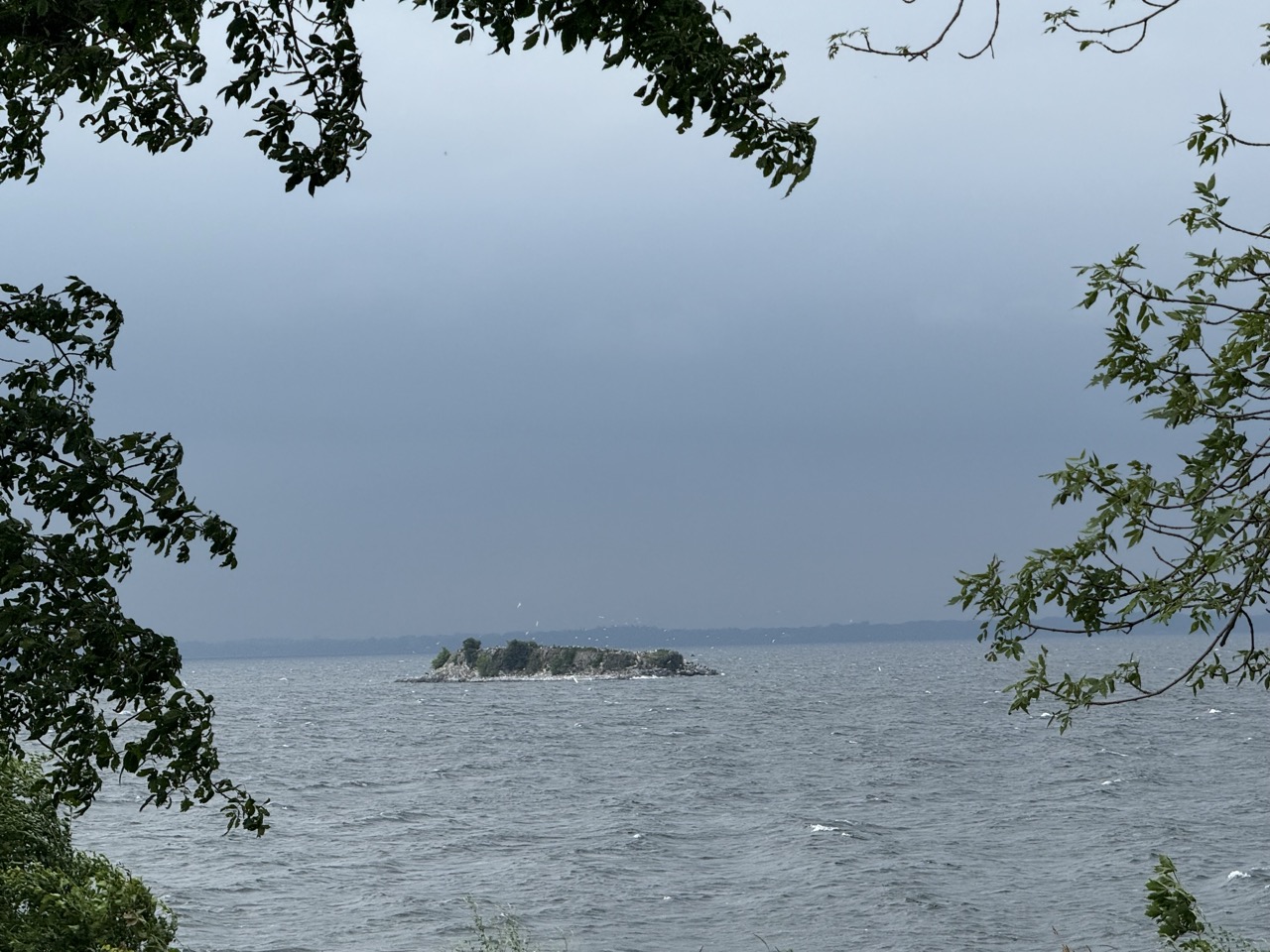 |
| The skies grew dark, Lake Champlain grew choppy and the wind picked up as thunderstorms approached Swanton, Vermont late Monday afternoon. Parts of northern Vermont saw some torrential downpours from these storms. |
But they fell just short of being severe or damaging, and the torrential rains in every place affected ended just in time to prevent any serious flash flooding.
The storms have helped northwestern Vermont get July off to a wet start.
Burlington got nearly an inch of rain. Morrisville clocked in with 1.49 inches.
The first week of July brought 2.38 inches of rain to Burlington, more than double the average for the week.
My unofficial rain gauge here in St. Albans has caught 0.85 inches of rain yesterday, for a total so far this month of 2.76 inches.
Other parts of Vermont have avoided much rain so far this young month. Southern Vermont for a change is somewhat on the dry side for the opening part of July
Before the Monday storms, Burlington reached 92 degrees, the sixth time this summer already it's been 90 degrees or more. Once again, we're ahead of schedule for the number of 90 degree days. But not on a record breaking pace.
The most 90 degree days in a single year at Burlington is 26 back in 1949. Unless we see some unbelievable extremes later in July and August. that record seems safe.
We know it won't make it anywhere close to 90 degrees today, thanks to the cold front that sparked Monday's storms
FORECAST
It was murky and foggy and overcast across Vermont early this morning in the wake of that cold front. It was also quite muggy in central and southern parts of the state, but a little less so up in the northwest parts of the Green Mountain State.
You'll see gradual improvement today, with the hope of some sun breaking out this afternoon. The air won't turn gloriously dry, but at least it will be less humid than it's been the past couple of days.
Wednesday actually looks pretty decent. It should be partly sunny and seasonably warm (low 80s). There's a low chance of a few scattered showers and storms, but most places should stay dry.
Thursday is July 10, a day which makes Vermont nervous. That's because of those dates in 2023 and last year, catastrophic flooding hit us. We don't want that to happen again! I'm sure rain on Thursday could bring on some episodes of PTSD.
The bad news is it will probably rain on Thursday. The great news is so far I don't see any signs that the rain will amount to anything that would cause big trouble. Sure, most of us will see some showers and thunderstorms.
The extent of those storms is still iffy, as the forecast models are arguing among themselves a bit. NOAA's Weather Prediction Center does have Vermont in a marginal risk zone for flash flooding Thursday. But that means that there's a remote chance a spot or two could see enough rain to cause a little damage.
If forecasts change, of course we'll let you know. But I think we're pretty safe on Thursday.
Beyond Thursday, it stays rather warm and on the humid side, with an occasional risk here and there of a scattered shower or storm through the weekend and probably beyond.
Between the deluge yesterday, and a bit more overnight, the unofficial rain event total from my weather station in here Jericho was an impressive 2.2 inches. We had a peak rainfall rate yesterday of nearly 3.5 inches/hour.
ReplyDelete