
 |
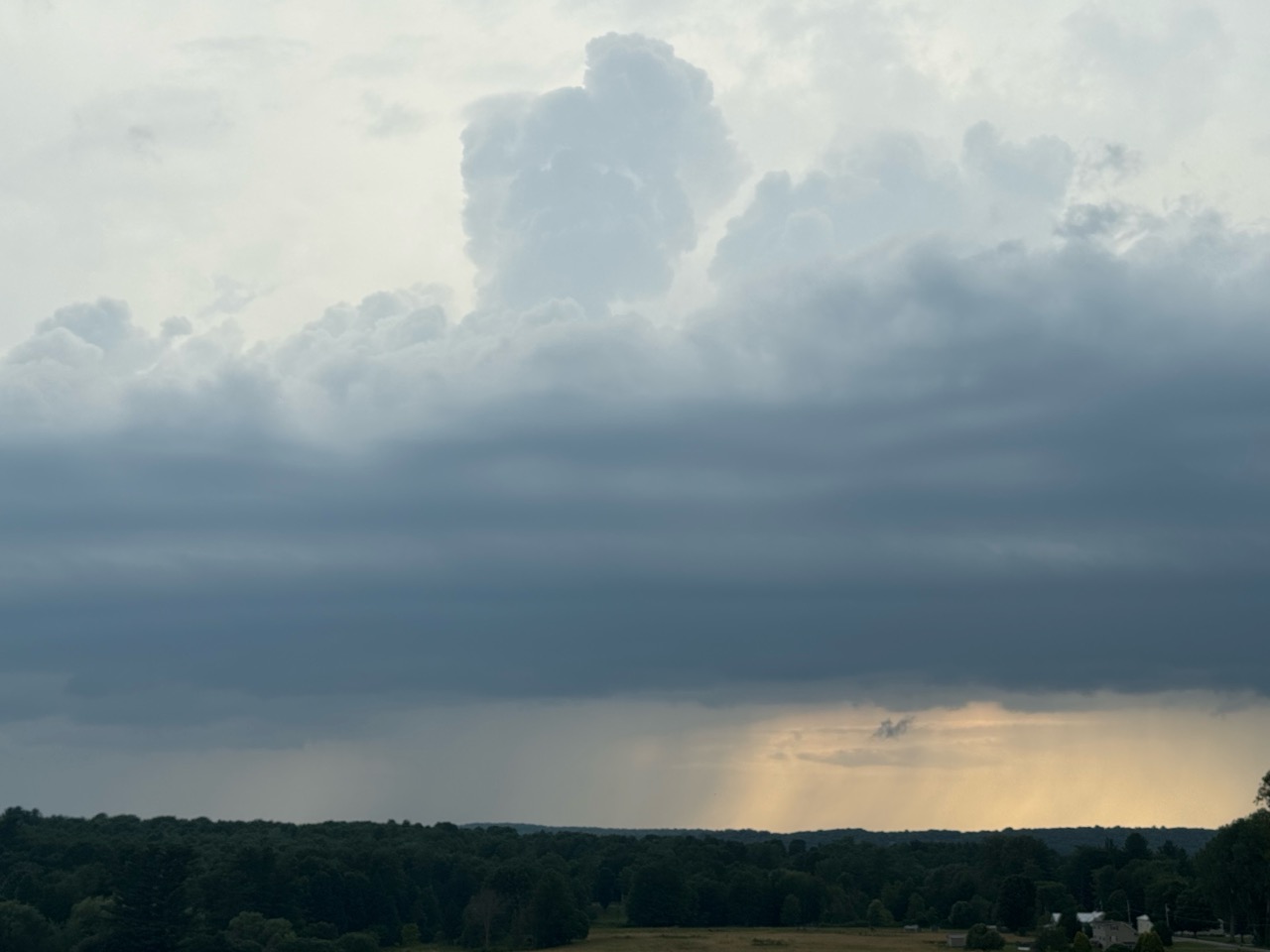
| A menacing thunderstorm with great structure approaching Georgia, Vermont last evening. Despite appearance, the storm wasn't severe. Storms that came through parts of Vermont Sunday were relatively tame, so no problems with wind damage or floods were reported. |
There's more on the way, so that will be a familiar topic. So, too, will be the risk of storms, local flash flooding. Plus our old friend wildfire smoke is returning too. Oh, joy!
Someday, we'll have cool, dry, clean air, but not too soon I'm afraid.
There is good news to report. None of the showers and storms that came through Vermont yesterday and last evening were severe, even if they were accompanied by menacing looking clouds.
Some of the storms knocked down a few trees and power lines in northern New York, but none of those storms caused trouble once they crossed the border into the Green Mountain State.
Those storms kept their flooding issues west and north of Vermont, too. We was a flash flood warning for a time in part of the Adirondacks. And further west, there was substantial flash flooding in central New York, especially around Newark Valley, New York, southeast of Ithaca.
Flash flooding was also reported around the Montreal metro area. Up to three inches of rain in a short time flooded basements and highways, cut power and caused flight delays at the city's airports.
We have a new weather record to report, too. At least a tie. Burlington received a little rain Sunday, just 0.16 inches. But that's enough to have made this past weekend the 30th in a row with at least some precipitation. That ties the record for most consecutive weekends with at least some rain or snow in Burlington.
STORMS/FLOOD POTENTIAL
The additional good news - for Vermont anyway - is that if we do see any flash flooding from additional storms today those instances will be pretty isolated.
The more substantial flood trouble will be to our south, most in the Mid-Atlantic region. Down by Washington DC, Philadelphia, New Jersey and that area, there's a serious risk of real flood trouble today.
While we will have thunderstorms in Vermont today they're also unlikely to be severe.
One thing that's helping is the weather front that will be driving today's storms is moving a bit faster than expected. It's technically a cold front, but unlike most cold fronts it doesn't get any cooler or much less humid behind it.
 |
| Showers and thunderstorms seen erupting late Sunday afternoon looking west from Georgia, Vermont. |
But the front does have a punch of drier air higher up in the atmosphere, and that will help suppress showers and thunderstorms in northwestern Vermont, which got the most rain yesterday.
I suspect areas north of Route 2 and west of the Green Mountains should be done with the shower and storm risk by mid-afternoon at the latest.
We'll still have to watch through the day for potential isolated instances of flash flooding in the Northeast Kingdom, parts of which are still recovering from last week's flood.
If we do have any flash flooding today - remember, that's just an if - far southern Vermont will be the most likely place. They had some pretty heavy downpours Saturday. And today's storm and downpour threat will last all day into the early evening down there.
Do note that almost everybody in Vermont will get much less than an inch of rain today. It will just be a few pinpoint locations that really get hit with the downpours.
SMOKE
Those wildfires in central Canada, after simmering down for a time, have really perked up again. Those fires have also spread into Ontario.
Smoke from the fires has been choking the Upper Midwest for a few days now. This weather front coming into Vermont today will help pull some of that smoke into our area starting later today and continuing at least through tomorrow and probably beyond.
You'll notice the haze tomorrow for sure. The air quality will probably not be all that great either. Especially since it will be combined with the expected heat and humidity, the smoke could be a problem for people with health issues. So you'll want to take it easy. People with asthma will want to have their stuff together in case of an attack
HEAT/HUMIDITY
Despite the sun being dimmed a bit from the smoke, a burst of hot weather is likely Tuesday, Wednesday and maybe Thursday. Warmer valley could reach 90 degrees all three days. The hottest day looks like it will be Wednesday, when many of us will see highs in the low 90s.
The humidity will remain awful. On the bright side, I suppose, high pressure will ensure that thunderstorms will probably remain few and far between Tuesday and Wednesday. But the slightest little trigger in this kind of weather can pop up a slow moving storm with torrential downpours, so we won't be completely out the woods.
THE END?
A slightly better cold front than that poor excuse for today's weather front seems like it wants to approach us later Thursday or Friday. We'll have to watch that one for heavy rains and a flood risk again toward the end of the week. But it looks like temperatures and humidity should fall to near normal levels by the weekend.
That "normal" is the new normal of course. In this climate changed world, normal high and low temperatures are higher than they once were. This time of year "normal" highs and lows in Burlington are deemed at 83/63. The normal high and low in Burlington in mid-July a few decades ago was 80/59.
No comments:
Post a Comment