
 |
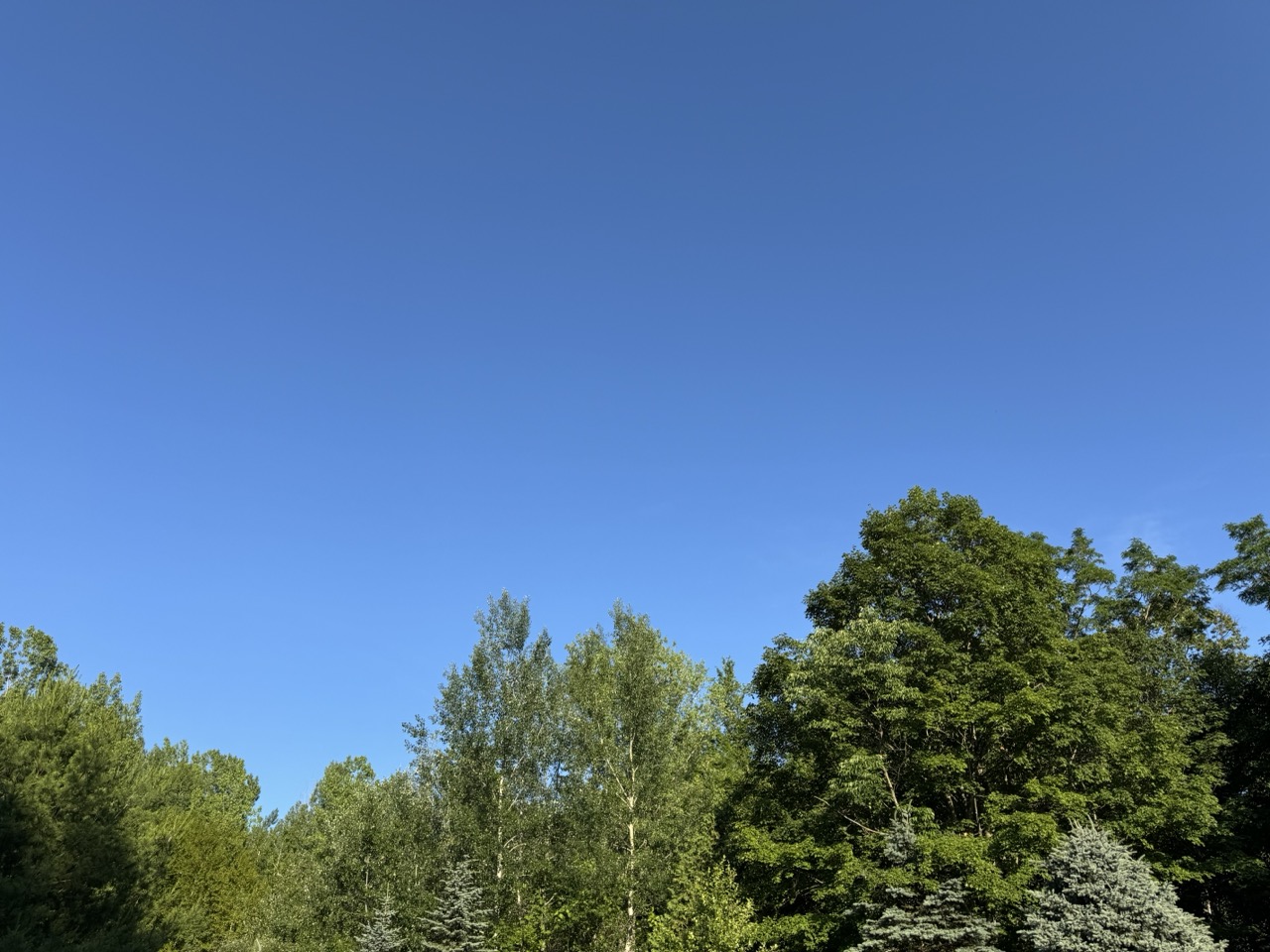
| My two favorite colors on a summer day. A deep blue sky and the rich green of late June trees. Which made Monday in Vermont a perfect summer day. Today, the humidity is back. |
It was my favorite kind of summer weather. I call them blue/green days, for the two colors that dominated a perfect summer day.
The wildfire smoke that plagued the skies of Vermont, and most of the United States has diminished for now.
That left us with deep blue summer skies and hills and Vermont mountains glowing a luxurious, verdant green.
After a cool, comfortable start, it turned out to be a very warm day. Burlington just missed another 90 degree day, topping out at 89.
But it wasn't humid at all. A cool dip in the water, followed by a slight breeze on your wet skin in the relatively dry air cooled you off nicely.
If you weren't at the beach and opted for a hike or gardening or some other outdoor activity, it was comfortable despite the warmth, especially if you kept to the shade. A classic summer day.
TODAY
Well, that's over, and the humidity is back. We'll be dealing with that on and off at least through August, so get used to it. The classic summer weather is continuing, but not in the fashion everybody loves, I guess.
In the Champlain Valley, it never really cooled off last night. It was still 81 at 2 a.m. At dawn, after some rain arrived, it was in the mid 70s with a dew point of a sticky 69 degrees.
That mugginess will be the theme of the day.
This morning should be the wettest part of the day. One band of downpours was heading into central and northern Vermont as of 6:30 a.m. Showers should be around much of the morning.
We'll get pretty warm again today, with highs in the mid 80s in many places. But the humidity will make it feel worse. A humid day with a cold front approaching is a recipe for lots of severe storms, so you'd think we need to really be on our toes today.
However, we won't see widespread storms. A lot of clouds will linger, and there's not a lot of upper air support for organized severe weather. So it's not a great environment for a wild storm day.
Central and southern Vermont could have a one or two strong or marginally severe storms, but most of us will see garden variety downpours this afternoon, if anything. It'll all be hit and miss, with perhaps half or more of Vermont being in the miss category this afternoon and evening.
NOAA also has Vermont under a marginal risk of flash floods, but that's a really low risk today. There might be isolated minor problems, but the downpours won't be lingering in any one place for too long, which minimizes the danger.
The real flood problems look like they'll be in the Mid-Atlantic States, where torrential rains will hit areas that experienced flash flooding on Monday.
WEDNESDAY
The "cold front" coming through later today is just a humidity front. In other words, it won't be any cooler on Wednesday than today, but the humidity will be somewhat lower. It won't exactly be Sahara Desert dry, you'll still feel some mugginess. But it won't be awful as temperatures rise once again into the 80s
THURSDAY
This might be another one of my favorite type of summer days, but in a different way than Monday. Another cold front will be coming in, and a chilly pocket of air will move in high overhead. That'll create some beautiful tall billowing clouds that will develop into showers and scattered thunderstorms.
This is shaping up to be yet another version of a classic Vermont summer day. The kind where you lie down in the grass and watch the clouds keep making new shapes. At least until the showers arrive.
That type of day looks best if there is deep blue sky between the clouds. Unfortunately, a little wildfire smoke from Canada could make things a bit hazy, but it still looks like a pretty day. You'll just be dodging scattered storms. It will probably not be the best day to be out on the lake or on mountain summits, given the risk of lightning and thunderstorms.
There is a marginal risk of one or two strong storms. Since there will be cold air aloft, the very strongest storms could produce some hail and some gusty winds. We'll keep an eye on this to see what future forecasts bring.
FOURTH OF JULY AND BEYOND
It still looks like July 4 will be cool and partly sunny with rock bottom humidity, so that'll be nice for watching the parades. Maybe.
Some forecasts keep an upper level low nearby, which would create a rather overcast Fourth of July for the Green Mountain State. We'll wait and see on that. But at least we know it won't be blazing hot. OK, a cool Fourth of July isn't exactly classic summer weather, but at least you won't die of heat stroke along the parade route.
The evening at this point should feature mostly clearing skies (cross your fingers) so you won't have trouble checking out the fireworks. Warmth and humidity look like they want to return for the weekend. Especially on Sunday.
No comments:
Post a Comment