Showing posts with label blue skies. Show all posts

Wednesday, November 19, 2025

The Vermont Sky Was A Strange Color This Morning: Blue!

Skies beginning to clear late yesterday afternoon
in St. Albans, Vermont. That darker stuff you
see at the top of the photo is still hanging off 
the eaves of my house. We still have snow
on the ground around here. 
 I awoke this morning here in St. Albans, Vermont to find quite a bit of blue sky.

Aside from a few glimpses of sun last Saturday, this is the first time the sky was truly mostly clear since November 8. That's a long time to be under the clouds, so it was almost shocking to see the blue skies this morning. 

Also shocking were the morning temperatures. The clear skies overnight allowed readings to really drop to easily the coldest so far this season. 

Most of Vermont was in the teens. Burlington was down to 21 degrees. Perennial cold spot Saranac Lake, New York was just 3 degrees above zero.

A few spots got particularly cold because they had snow cover, which tends to promote even chillier nights. By the way,  Mount Mansfield set another record for the date yesterday for deepest snow cover, with a depth of 39 inches. 

That's the third deepest snow on record. WCAX meteorologist Gunner Consol did some checking. He found that of the 10 Novembers with the deepest snow, seven of them went on to have above average snow depths later in the winter, and three of them were below normal. 

These temperatures actually aren't strange at all for this time of year. (The record low in Burlington today is 7 above, so we really missed that by a large margin.

The chilly November we've endured so far has been mostly a function of cold daytime highs. Nights have been relatively mild. Finally seeing a bonafide cold morning is a bit of a shock to the system.

The mostly clear skies that helped make last night and early this morning so cold will help today warm up some. The sun angle is low, so it can't warm us up the much. But the sun will still give it a try. Which means by afternoon we should be well up into the 30s. 

LOOKING AHEAD

We're still looking at a break from "exciting weather" for the next few days. The atmosphere is still rearranging itself for the next barrage of storms that might (or might not) hit once we get into December. 

In the meantime, only little systems will come through. We'll still see some sun tomorrow in case you miss it today. A weak thing will come through Friday with a little light rain, which might start off as a bit of a mix way up high in the mountains.

This coming weekend will be pretty average for this time of year.  We won't exactly see clear skies. but the sun will be out part of the time during our short days, especially on Saturday. 

You usually can't expect balmy weather for this time of year, so highs will only be in the 35 to 45 degree range, depending on if you live in a traditional Vermont ice box or the state's banana belt towns. Overnights will get into the 20s. 

Killington and Jay Peak will be open for business this weekend, so if you want to get some early skiing or riding in, go for it. (Friday's rain won't melt much snow up there).

Our next shot at any storminess would come next Tuesday night or Wednesday. It's too soon to tell what kind of storm, how big it will be, or even whether it will actually affect us here in Vermont. 


Tuesday, July 1, 2025

After A Classic Vermont Summer Day, We Get Classic July 4 Week Changeable Summer Weather.

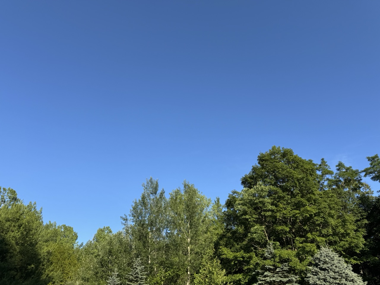
My two favorite colors on a summer day. A deep blue 
sky and the rich green of late June trees. Which made
Monday in Vermont a perfect summer day. 
Today, the humidity is back. 
I hope you loved the Vermont weather on Monday.

It was my favorite kind of summer weather. I call them blue/green days, for the two colors that dominated a perfect summer day. 

The wildfire smoke that plagued the skies of Vermont, and most of the United States has diminished for now. 

That left us with deep blue summer skies and hills and Vermont mountains glowing a luxurious, verdant  green.  

After a cool, comfortable start, it turned out to be a very warm day. Burlington just missed another 90 degree day, topping out at 89. 

But it wasn't humid at all. A cool dip in the water, followed by a slight breeze on your wet skin in the relatively dry air cooled you off nicely. 

If you weren't at the beach and opted for a hike or gardening or some other outdoor activity, it was comfortable despite the warmth, especially if you kept to the shade.  A classic summer day. 

TODAY

Well, that's over, and the humidity is back. We'll be dealing with that on and off at least through August, so get used to it. The classic summer weather is continuing, but not in the fashion everybody loves, I guess. 

In the Champlain Valley, it never really cooled off last night. It was still 81 at 2 a.m. At dawn, after some rain arrived, it was in the mid 70s with a dew point of a sticky 69 degrees.

That mugginess will be the theme of the day. 

This morning should be the wettest part of the day.   One band of downpours was heading into central and northern Vermont as of 6:30 a.m.  Showers should be around much of the morning.  

We'll get pretty warm again today, with highs in the mid 80s in many places. But the humidity will make it feel worse. A humid day with a cold front approaching is a recipe for lots of severe storms, so you'd think we need to really be on our toes today.

However, we won't see widespread storms.  A lot of clouds will linger, and there's not a lot of upper air support for organized severe weather.  So it's not a great environment for a wild storm day. 

Central and southern Vermont could have a one or two strong or marginally severe storms, but most of us will see garden variety downpours this afternoon, if anything. It'll all be hit and miss, with perhaps half or more of Vermont being in the miss category this afternoon and evening. 

NOAA also has Vermont under a marginal risk of flash floods, but that's a really low risk today. There might be isolated minor problems, but the downpours won't be lingering in any one place for too long, which minimizes the danger. 

The real flood problems look like they'll be in the Mid-Atlantic States, where torrential rains will hit areas that experienced flash flooding on Monday. 

 WEDNESDAY

The "cold front" coming through later today is just a humidity front. In other words, it won't be any cooler on Wednesday than today, but the humidity will be somewhat lower. It won't exactly be Sahara Desert dry, you'll still feel some mugginess. But it won't be awful as temperatures rise once again into the 80s

THURSDAY

This might be another one of my favorite type of summer days, but in a different way than Monday. Another cold front will be coming in, and a chilly pocket of air will move in high overhead. That'll create some beautiful tall billowing clouds that will develop into showers and scattered thunderstorms.

This is shaping up to be yet another version of a  classic Vermont summer day.  The kind where you lie down in the grass and watch the clouds keep making new shapes. At least until the showers arrive. 

That type of day looks best if there is deep blue sky between the clouds. Unfortunately, a little wildfire smoke from Canada could make things a bit hazy, but it still looks like a pretty day. You'll just be dodging scattered storms. It will probably not be the best day to be out on the lake or on mountain summits, given the risk of lightning and thunderstorms. 

There is a marginal risk of one or two strong storms.  Since there will be cold air aloft, the very strongest storms could produce some hail and some gusty winds.  We'll keep an eye on this to see what future forecasts bring. 

FOURTH OF JULY AND BEYOND

It still looks like July 4 will be cool and partly sunny with rock bottom humidity, so that'll be nice for watching the parades. Maybe.

Some forecasts keep an upper level low nearby, which would create a rather overcast Fourth of July for the Green Mountain State. We'll wait and see on that. But at least we know it won't be blazing hot. OK, a cool Fourth of July isn't exactly classic summer weather, but at least you won't die of heat stroke along the parade route. 

The evening at this point should feature mostly clearing skies (cross your fingers) so you won't have trouble checking out the fireworks.  Warmth and humidity look like they want to return for the weekend. Especially on Sunday.

Friday, October 18, 2024

A Classic, Perfect Vermont Autumn Day To Be Followed By More Fall Greatness

A snowy Mount Mansfield on Thursday as viewed
from Underhill, Vermont. 
I really have to rate Thursday probably among the top five most perfect autumn weather days in Vermont that I can remember. 

Which is impressive, since I've lived in this state for a mere 62 years. 

The day started with a very traditional October frost, which left the lawn looking oddly clean thanks to  the sparkling ice crystals as the sun rose into a clear sky.

What followed was perfectly blue skies from dawn to dusk. The northern Green Mountains were topped with dazzling cold white snow, which contrasted fantastically with the warm orange, red and yellow tones of the fall foliage. This was all under the most brilliant of blue skies. 

Temperatures were perfect. The air had that clean crispness of autumn. Speaking of clean, the air quality couldn't have been better.  I checked the air quality index and for most of us, it hovered around 10. Anything between 0 and 50 is good, and it's rare to get the index down to 10.

Breathing the air Thursday was almost like pure oxygen therapy. I'm sure my lungs are cleaner now than they were 24 hours ago. 

The day ended with a view of a comet after sunset, followed by the October hunter super moon rising in the east and illuminating the night sky.  They're calling it a super moon because it's a little closer to Earth than usual, making the moon appear a bit bigger and shine more brilliantly. 

In other words, Thursday it was classic, old fashioned kind of Vermont autumn day. Which felt oddly reassuring.  

In this age of climate change and its associated scary weather moments, it felt good to have an October day, the kind I remember as a kid. It was nice to experience gorgeous "normal" weather. Granted the fall foliage is later in the season than I can recall decades ago, but let's just ignore that for now.  

MORE FANTASTIC WEATHER

If you missed the perfection of Thursday's Vermont weather, you're in luck.  I've issued a Gorgeous Weather Warning that's in effect today through Sunday. And I might need to extend that warning into early next week as well.  

Another view of Mount Mansfield as seen from
Underhill, Vermont on Thursday.

Today is pretty much rinse and repeat of Thursday.  Temperatures were just a couple degrees warmer at dawn today than yesterday, but many of us still have frost on the pumpkin, so to speak. 

It'll be another day of wall to wall sunshine, blue skies and clean air. It will be a little warmer than Thursday, with highs in several areas topping out in the low to mid 60s. 

The only thing making today and the next few days "worse" than Thursday is the snow on top of the mountains will be gradually fading as it melts in the late season sun.

 But it will take a little while. The foot of snow measured atop Mount Mansfield on Wednesday was the deepest for so early in the season. 

The weekend will feature plenty of sunshine as well, as well as temperatures getting even milder. A few places will probably at least flirt with 70 degrees on Sunday. 

By early next week, Indian Summer should be in full swing with afternoon highs at least into the low 70s. 

The next chance of rain - and it won't be much - will probably come along with a cold front Wednesday night or Thursday which would knock temperature back down to seasonable late October readings.