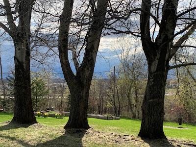
One moment, you're in the sun doing some gardening, working or just having fun, and you start to sweat. It felt warm. Really warm .The next moment, you're freezing your butt off.
No, it wasn't a fever or the flu coming on. It was the atmosphere over us playing those tricks.
The April sun is high and warm, and it heats up the ground where we are pretty fast. As I noted yesterday, there was a pool of cold air high above us.
The sun, as expected, created updrafts that produced those billowy clouds that turned into showers.
Most (but not all!) of the showers were pretty light, but as they developed, they pulled down packets of that cold air from up high. You didn't even need to be under one of these showers to get these cold blasts.
You just had to be near them. That explained the sudden chill in the air at times. Then the showers would move on, the sun would heat things up again, more showers, more cold downdrafts, rinse and repeat.
Rinse and repeat is the theme of this post, actually.
We're going to go through it all again today, similar to Tuesday. Once again, there's patchy dense fog around this morning which will burn off. There are patches of blue sky as the sun rises. Once again, there's cold air up above us.
Which means more showers forming today. Chances are, if you're outside again today, you might once again run hot and cold on a day, like yesterday, that couldn't seem to make up its mind.
NEW STORM
 |
| Sunshine and dark clouds yesterday in St. Albans, Vermont. Showers mixed with the sunshine caused temperatures to go all over the place Tuesday. Same thing could happen today. |
Here's another rinse and repeat: It appears we might have an almost identical setup to this week, starting over the weekend and continuing into next week.
Although the details of the forecast are still hazy, it's looking like another wet storm will come through sometimes between Saturday and Monday.
If anything this storm might end up being even wetter and bigger than the last one, if everything comes together just so.
We'll have to watch for some minor flooding with this next storm, as another inch or two or locally more of rain would get some already fast flowing rivers up near bank full. Later forecasts will pin down this possibility.
Then, just like last Sunday's storm, this one will stall out somewhere near or just north of us. Another cold pool of air will thusly set up overhead, and next week will be showery, changeable and cool, just like this week.
TEXAS HAIL
Some of the stronger storms yesterday in Vermont and New York produced isolated instances of pea sized hail. No biggie, especially compared to Texas, where they do everything bigger.
Yesterday, hail as big as baseballs crashed down on central Texas and the Texas panhandle.
Today looks worse. The risk of gorilla hail is on the docket for populated areas around Dallas-Fort Worth. The term gorilla hail, meaning very large, damaging balls of ice, was reportedly invented on the fly a couple years ago as noted storm chaser Reed Timmer as he watched another big hail storm batter a town in Texas.
Gorilla hail, if it develops over populated areas, can be incredibly expensive with a flood of insurance claims following the trail of broken windows, smashed up cars and wrecked roofs after a hail storm.
Hail storms each caused between $1 and $2 billion - with a b - in damage around the Dallas-Fort Worth area in 1995, 2003, 2012 and 2017,
So, if today's hail could be a mess. If the worst storms stay out in open country, that would be better. On top of everything else, there's a risk of tornadoes later today in northern Texas, too.


No comments:
Post a Comment