 |
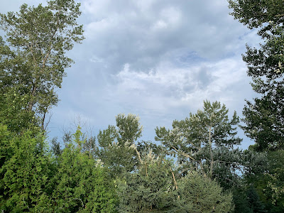
| A last bit of morning sun in St. Albans, Vermont today and an unstable looking sky herald the arrival of yet another storm that could cause some local flash floods in the Green Mountain State. |
TODAY
In most of the eastern United States, today is the one with the big threat of widespread damaging winds and some tornadoes. Vermont will sit this one out, though. Tomorrow is the risky day.
This is a strangely strong storm for August, and that has led to a huge area being under the gun today.
It goes from western and central New York all the way south to Georgia and Alabama and west to Ohio, Kentucky and Tennessee. This is one of the largest areas I've seen in awhile for a one day severe weather outbreak.
Since this area broad area has such a huge population, and many neighborhoods are basically forested, I expect probably hundreds of thousands of power outages by the end of the day. Trees will fall on a lot of houses, too, I imagine.
New England, including Vermont, is an exception to today's severe weather threat. The showers today through this evening might have some embedded thunderstorms, but they don't look like they will be severe.
Most of us will see a quarter inch of rain or less during the day today. There might be a quick downpour in a few spots in the Green Mountain State that could push rainfall totals to a half inch or more. This shouldn't be enough to cause flooding concerns - yet.
TONIGHT
By later today, you'll notice the humid will have gone way up since this morning. That will enable the atmosphere to generate more rain.
So, another surge of rain with embedded downpours looks like it'll soak the region. This batch of rain will be heavier, with perhaps up to an inch of rain in a few spots. Rainfall, as it has with each of these summer storm outbreaks, will be really variable with some places seeing almost nothing, with other places being drenched.
The worst hit spots tonight could see an isolated flash flood issue, but the risk is fairly low overnight. As we see so often with these systems, the rain through tonight will pre-soak the ground, making them more ready for flash floods when a new batch of downpours arrives. Which is why we'll have to keep a close eye out on Tuesday.
TUESDAY
You'd think something called a "dry slot" would save the day and prevent flood trouble in Vermont tomorrow. But it could do just the opposite This large storm looks like it might have that dry slot, which is punch of drier air from the southwest that will punch into the storm ahead of its cold front.
That possible Tuesday morning "dry slot" only applies to the upper atmosphere. It will still be really humid down here on the ground.
If this sets up as expected, we'll start the day with some sun. That, combined with the humid air down where we live, will make the atmosphere more unstable than it otherwise would be. That, in turn, would encourage those tall thunderstorm clouds to form.
Meanwhile, the "dry slot" will move on away from us during the day, leaving plenty of moisture for those building thunderstorms to deposit another batch of locally torrential rain.
We'll continue with the repeated pattern we've seen this summer. The majority of us won't see enough rain to cause big problems, but a few unlucky towns getting blasted with torrents. Those unlucky spots will either have several thunderstorms pass overhead between today and tomorrow, or a train of them would set up Tuesday afternoon, creating torrential downpours that last two or three hours.
The atmosphere will be wet enough so that those unfortunate places that get nailed could see two to four inches of rain in a very few hours. Given how wet the soil is, that's more than enough to set off the kinds of problems we saw in Middlebury Thursday and Rutland on Friday.
Of course, we have no idea if Middlebury, Rutland or some other place will be the target on Tuesday. It could happen anywhere, really. The National Weather Service in South Burlington notes that computer models are still not agreeing on where in Vermont the heaviest rains are likely.
The usual hazards apply: Abrupt road washouts, culvert failures, urban street flooding, tiny creeks becoming rapids in a very short period of time, and maybe some scattered mud slides or landslides.
So far, the bottom line is trouble could loom any time anywhere Tuesday, but most likely in the afternoon or evening. Especially if you're in a flood prone spot, be ready to receive weather warnings from a variety of sources.
Later Tuesday night, the showers and downpours should die down, and we can move on from the latest episode in our wet summer horror show.

No comments:
Post a Comment