
 |
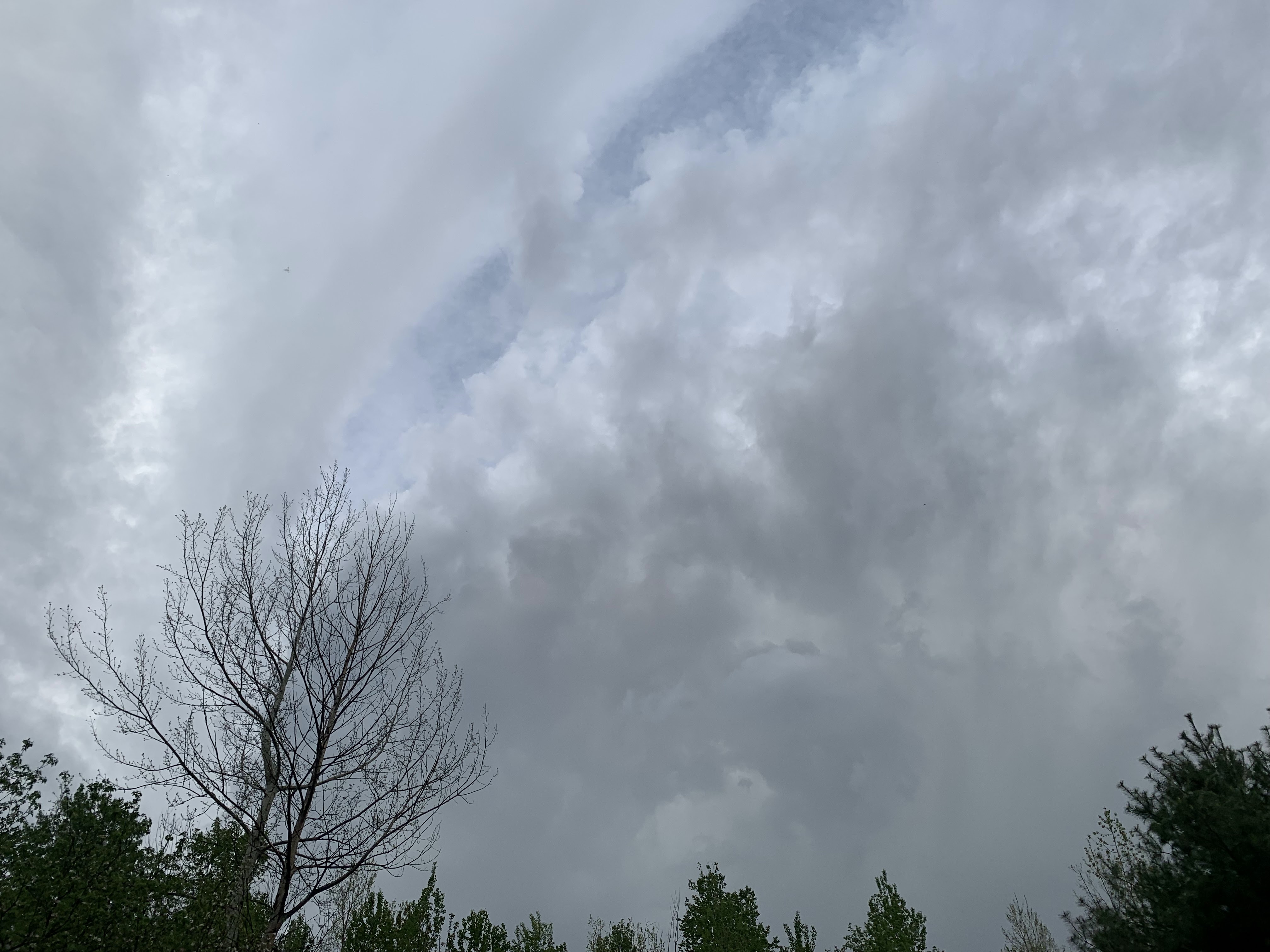
| A much weakened version of what had earlier been a rotating, severe warned storm approaching the Champlain Islands. This now garden-variety storm is pictured here near St. Albans. Though tame, it still showed evidence that it still had a little rotation. |
Not very much harm was ultimately done, but the two or three big storms that did form created drama.
One storm in the Northeast Kingdom dumped tons of hail and created some street flooding in and around Lyndonville. Images on social media showed a torrent of hailstones covering lawns and walkways in the region around 3:30 p.m in the afternoon.
The largest hailstones were a little smaller than penny sized so luckily it wasn't enough to dent cars and such.
In the evening, a thunderstorm quickly erupted in New York State south of Plattsburgh and quickly became intense enough to prompt the National Weather Service office in South Burlington at 5:44 p.m. to issue a severe thunderstorm warning.
The warning covered areas in and around Plattsburgh and across parts of Grand Isle, Franklin and a sliver of Chittenden County. The warning alerted us to the risk of 60 mph gusts and quarter sized hail..
Luckily that didn't happen. But storm chaser Tommy Horn captured some wild photos of the storm as it prepared to go over Lake Champlain.
You can Horn's images of the storms here and here. The photos would do an Oklahoma storm chaser proud.
Horn's photos showed a great gush of rain, of course. It also showed what appears to be a rotating section of the storm that I think could have potentially created a brief tornado. It didn't for reasons I'll get into in a second.
There was apparently enough shear in the atmosphere to help Tuesday thunderstorms spin. Shear just means wind is changing speed and direction with height in the atmosphere. That's one ingredient to create severe storms and tornadoes
However, there wasn't enough instability in the atmosphere, or enough energy to sustain severe storms for any length of time, or allow them to last long.
But anyway, Horn's images shows a rotating wall cloud type feature in the storm. A wall cloud is a lowering section of a severe thunderstorm that spins and could potentially create a tornado.
One of Horn's images sort of shows what looks like a bit of a funnel, but Horn said that was just a scud cloud rising into the storm. There was never any funnel.
The storm did produce hail to near penny size in Peru, New York and a 38 mph wind gust in Plattsburgh.
Next, the storm ran into a buzzsaw, namely Lake Champlain. The lake is quite cold this time of year and creates an area of stable air. When the storm went over the lake, it quickly fell apart in the stable air and weather warnings were lifted.
The remnants of the storm continued on its expected path, right toward my house in St. Albans, Vermont. It partly regenerated once it hit land in Vermont and escaped the cold clutches of Lake Champlain. But never came close to becoming severe again.
Still, the now not spinning remnants of that wall cloud passed over my house as just a low, dark gray jumble of clouds. However, you could see as the storm departed St. Albans that its entirety still had some rotation to it, even though it would never come close to causing any severe weather, never mind any kind of funnel cloud.
The storm just cause a brief downpour, a couple of rumbles of thunder and a very few pea-sized hailstones as it passed by my place.
In a way it was the perfect storm - visually stunning but not really anything damaging or dangerous.
Today's weather won't be as visually stunning. Low overcast and fog this morning was breaking up into an overcast. .We'll have an increasing chance of showers today. That's because the cold front that caused yesterday's weather is coming back as a warm front.
The showers this afternoon will be pretty frequent, but also on the light side. No sky drama, though.
Looking ahead through the weekend, the forecast has trended drier than previous runs, so most of the time will be fine for outdoor activity. There will be just be limited chances of showers. Certainly no rotating storms and wall clouds for the next few days.
No comments:
Post a Comment