
 |
| Developing thunderstorms looking northwest from St. Albans, Vermont this afternoon. These storms drenched the Alburgh area. A separate, larger, stronger complex of storms hit much of northern Vermont a little later. |
Sometimes in the height of summer, you get those horribly hot, humid days that devolve into locally severe thunderstorms. By September, that kind of scenario is over. But I guess not this year.
So far, I've only seen a few reports of bonafide severe weather damage. Winds gusted as high as 60 mph in South Burlington. Several trees fell along and near Severance Road in Colchester.
The Burlington metro area was put under a flood warning as an inch of rain fell in less than an hour, flooding streets and low spots. Outside of Burlington, I did see examples of very minor flash flooding in my travels, but not much in the way of any real damage.
Burlington did manage to set a record high today. But it wasn't temperature. They got to 89 degrees, five degrees shy of the record for the date.
But Burlington did set a record for highest amount of rain for this date - September 7. As of 5 p.m., Burlington had 1.12 inches, besting the record of 0.95 inches set way back in 1898. I looked it up and the 1898 heavy rain came toward the end of a very warm, humid spell, so I guess history repeats itself.
There still might be a few rambunctious thunderstorms around this evening, especially outside areas hit the hardest by the storms this afternoon. I noticed a string of small, but intense storms prompted a severe thunderstorm warning in and around Montpelier after 5:15 p.m. today.
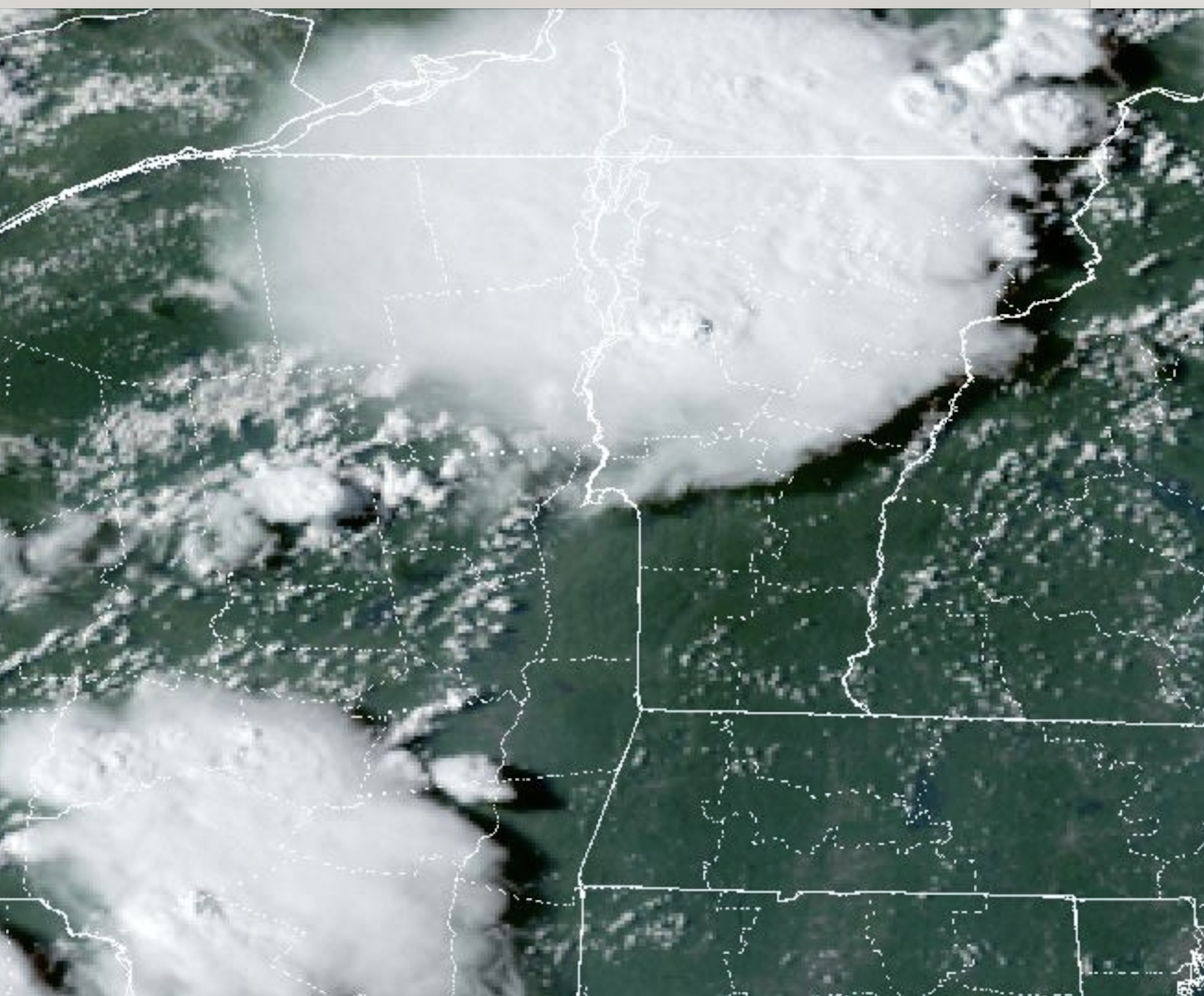 |
| Satellite photo from this afternoon shows large thunderstorm complex over northern Vermont. |
I'm also watching beleaguered Addison County, as a couple of strong storms were moving through there at 5:30 p.m. and more storms were developing in New York, also with an eye on Addison County.
It's interesting, the huge blob of storms that hit northern Vermont was largely over by 5 p.m.. But the thunderstorm complex's huge anvil top was still producing rain and occasionally lightning and thunder as far west as Plattsburgh more than an hour after the main storm blew through.
The storms will settle down later this evening. But a new batch of shower and storms should pass through near and after midnight. Those shouldn't be severe, and they also shouldn't be strong enough to produce any real flooding, so we're good there.
No comments:
Post a Comment