
 |
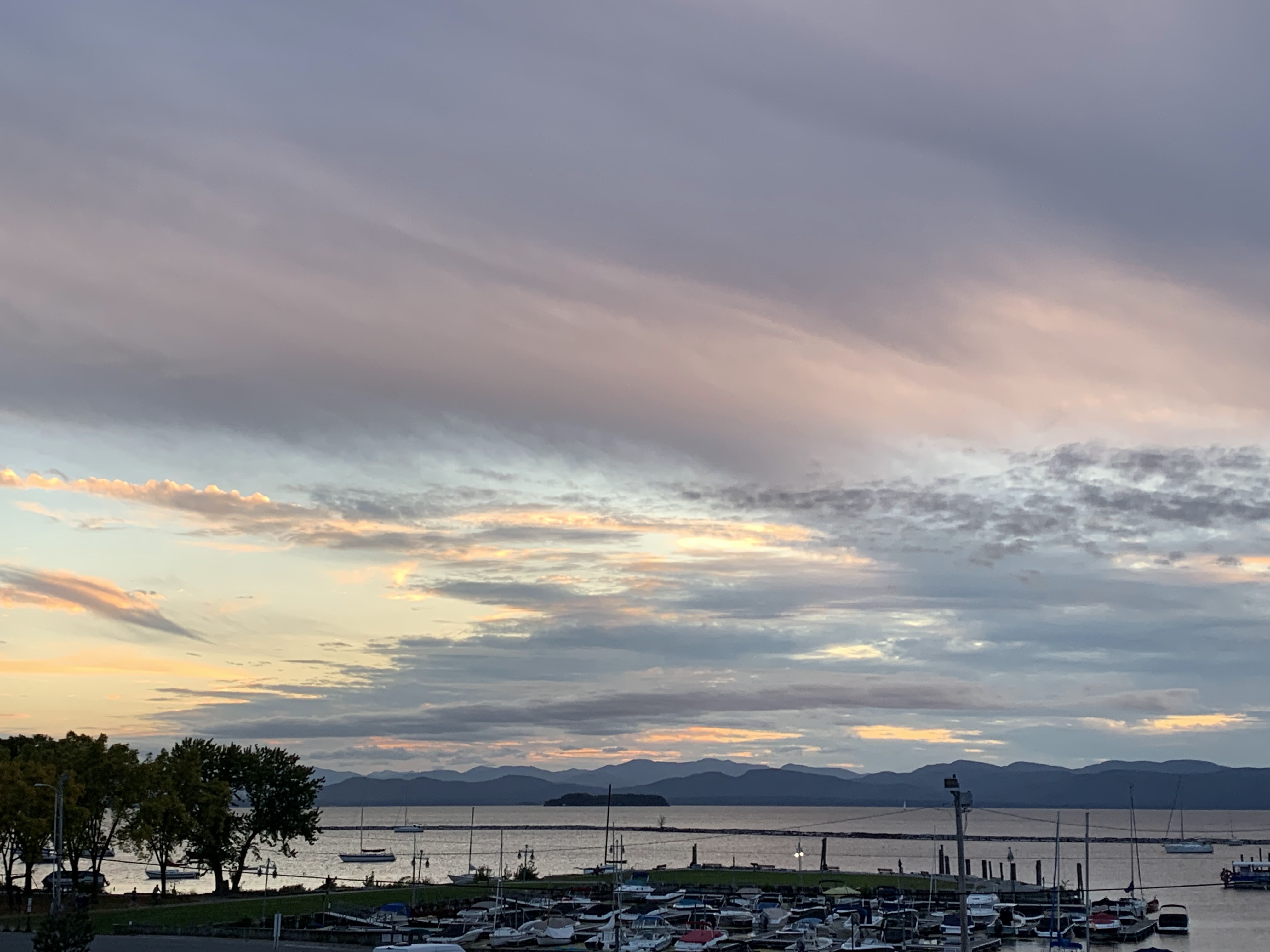
| Clouds streaming into the skies over Lake Champlain near Burlington, Vermont Tuesday evening heralded our current brief but needed spell of wet weather. |
I awoke to a dark and rainy and dreary start to the day here in Vermont, something we haven't seen in a long, long time.
At least as recorded in Burlington, a 16 day streak with no measurable precipitation has come to end.
The National Weather Service office in South Burlington ranks this as the 20th longest dry streak in records dating back to the 1880s.
The longest dry streak, for those of you keeping track, is 52 days from April 9 to June 6, 1903.
Now, we're in a wet spell, and forecasters have greatly increased the amount of rain we'll get out of this. A few days ago, I thought this week's rain would only amount to maybe half inch or less. Now, we're expected a total of one to two inches through tomorrow, with locally higher amounts.
This, without any moisture assistance from soon-to-be Hurricane Helene, which still looks like it won't have much of an effect on us here in the Green Mountain State.
PROGRAM NOTE: I'll have a separate post on Helene later this morning. There's a LOT to talk about with Helene, and unfortunately it's pretty much all really bad news.
For now, on to Vermont's blissfully wet situation. Unlike in the Helene zone of the southeastern United States, the rain coming to the Green Mountain State will do far more good than harm.
TODAY
An initial cluster of rain and shower has been moving Vermont this morning, with central and northern Vermont seeing the most. I am a little surprised by amounts of around a third of an inch so far. I anticipated some lighter stuff today.
The rain was beginning to move on, so we'll have a drier break later this morning and much of this afternoon. By "drier" I mean little or no rain during that period. But it still will be cloudy, kind of raw and breezy, with the most wind in the Champlain Valley.
This will belated be the first truly chilly autumn day, with highs only within a few degrees of 60, all made to feel cooler by the clouds and winds. It's not at all unusual to have this kind of weather in late September. The lowest high temperature on record on this date in Burlington is 48 back in 1925, so we're not anywhere near the realm of true autumn cold.
Plus, we have more pretty warm weather on the way
Before we get there, the rain will move back in tonight.
TONIGHT/THURSDAY MORNING
That high pressure system in southeast Canada that's been helping to keep us dry for so long is helping to play a part in making this new storm wetter than perhaps some of us originally thought.
 |
| This forecast map from the National Weather Service office in South Burlington shows the vast majority of us seeing a nice one to two inch rain soaker today, tomorrow. |
The front and all that moisture will unleash drenching rains, with a few embedded downpours and maybe even a rumble of thunder overnight and the first half of Thursday.
That's when most of the one to two inches of rain will fall. Some places that really get bullseyed by the heaviest showers could manage a good 2.5 inches of rain.
Aside from some ponding of water on a few roads, this rain will not cause any flooding. It's been so dry that the rain will soak into the ground nicely. You might see river levels rise slightly tomorrow, but they will stay well within the range of normal stream flow for autumn.
LATER THURSDAY AND BEYOND
The real rains will shut off as the front passes through by afternoon, but there could be some lingering showers around. Maybe even a couple weak, isolated thunderstorms. It will be seasonably mild - well into the 60s by afternoon.
That high pressure that's been so persistent over southeastern Canada this month will re-assert itself, giving us yet another stretch of generally sunny, mild weather Friday through probably next Tuesday. Highs each day will reach or get a little over 70 most places, with lows staying far, far above any frost dangers.
HELENE
As mentioned, so far, it looks like the only effects Vermont. These things often throw off a huge expanse of high, thin clouds far and wide, and we might see some of that toward Friday and the weekend, but it won't diminish how pleasant the weather will be.
Lingering moisture from Helene might make an expected cold front next Wednesday a bit wetter than it otherwise would be, but we won't have any huge amounts of rain from that.
No comments:
Post a Comment