
 |
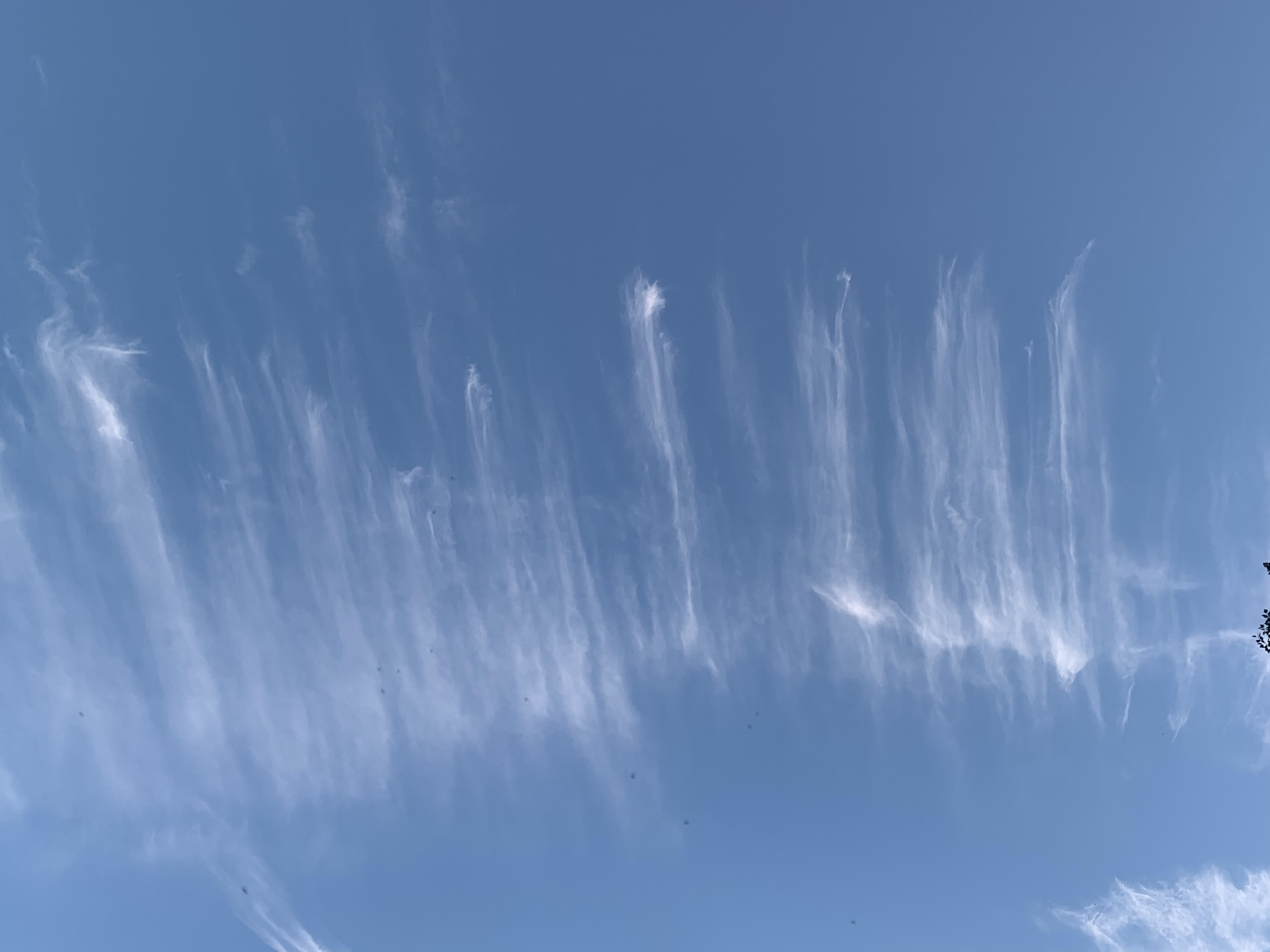
| Outflow from former Hurricane Helene sent these feathery high clouds across the sky over St. Albans, Vermont Saturday morning. Helene is having no effect on us, and it's going to be a quiet weather week. |
With so much drama happening in the weather news, it's a relief to report that we in Vermont are involved in none of that. And that will continue through the week.
This is going to go down as another September that will make the top five warmest list, at least as measured in Burlington. It's remarkable that only the very coldest hollows in the Northeast Kingdom and Adirondacks have had any frost yet as we head into October.
The opening days of the new month look like they'll be frost-free, too.
In Burlington, normal lows for the last couple of days of September are in the upper 40s. Remarkably again, it has stayed constantly above 50 degrees in Burlington since the morning of September 11. The next time it will go below 50 degrees will probably be Wednesday night, and then probably just barely.
Despite the warmth, the fall foliage in Vermont is getting real, at least in the high elevations and in the Northeast Kingdom. There's color elsewhere, too, but it's a way from peak. The color will continue to get better and better this week, and the viewing weather should be mostly good to great, too.
Since it's been a warm month, it's fitting that today and Monday, the final two days of September, 2024 will be on the balmy side, too. Many of us should make it into the low 70s today, under sunshine. Those of you who were in the usual autumn fog and low clouds this morning should see increasingly sunny skies.
It'll probably get foggy again in many spots Monday morning.
The weather maker of the week, such as it is, will be cold front coming through Wednesday. This one isn't exactly a powerhouse. The remnants of horrible Hurricane Helene are still swirling aimlessly in the Ohio Valley. The cold front will finally give that a swift kick eastward, out to sea.
Those remnants will pass by too far south of Vermont to have any effect. Instead, it looks like a line of showers will come through sometime Wednesday. Nothing heavy, as there's nothing in the atmosphere to gather a lot of moisture or create a lot of lift.
 |
| Outflow from former Hurricane Helene sent these odd looking cirrus clouds over Vermont Saturday. |
Plus, the contrast between the air ahead of the cold front and the air behind it isn't much. So the cold front will be a yawner.
But the air behind that front is a little cooler. It is autumn, after all. You can get days with highs in the 40s and low 50s and even snow flurries in early October. That won't happen this time.
Instead, we'll enjoy a second half of the week with daytime temperatures well into the 60s, and lows mostly in the frost-free 40s.
There's another little cold front that will zip through maybe Friday or Saturday, but that one will be even more lame than Wednesday's. Don't expect a whole lot of weather with that one. Just some clouds and maybe a light shower or two to mix with the sunshine. It'll just have the effect of adding a little extra interest to your autumn foliage photos.
Eventually, as we head into October, those cold fronts will pack more and more oomph, so the warm weather will disappear for good until next spring.
No comments:
Post a Comment