
 |
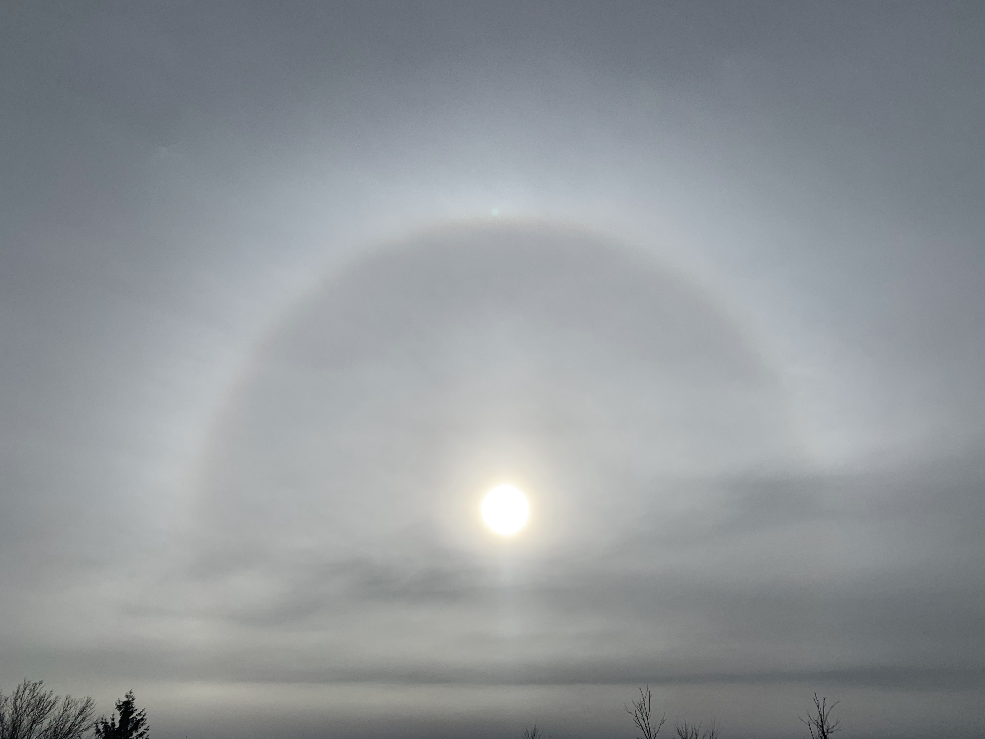
| A halo around the sun as clouds increased ahead of tonight storm. Photo taken a little after noon, Colchester, Vermont. |
The bad road conditions will affect you only if your timing is bad. If you're on the highways between, say 8 or 9 this evening and mid-morning Wednesday, you're kinda screwed. After that, it shouldn't be so awful.
I'm sure you noticed today the sky steadily went from sunny to a dark overcast by afternoon. By 5 p.m. weather radar is lit up with what appears to be precipitation falling in much of Vermont already.
But that's virga, which is rain or snow that evaporates before hitting the ground. As is typical with a storm this time of year, it's running up against some very dry air. Snow comes out of the clouds, but evaporates in that static cling type of atmosphere.
Eventually, that evaporating snow will moisten the air, and the precipitation will then hit the ground. In Vermont, that will hit probably a little after 8 p.m. this evening in the Champlain Valley and the rest of extreme western parts of the state, and make it to the Northeast Kingdom before midnight.
FORECAST ADJUSTMENTS
The National Weather Service in South Burlington has only made minor changes to the forecast as of this evening. The onset of snow looks to be just a tiny bit earlier than this morning's forecast.
Total snow accumulation along the eastern slopes and summits of the Green Mountains in central and southern Vermont have been pulled back just a tiny bit.
The big winners down there could see four or five inches of snow. The rest of Vermont along and east of the Green Mountains looks like they'll see 1.5 to 3 inches of snow. Low elevations of southwestern Vermont will probably see one to two inches. The Champlain Valley will get two inches or less.
There will be an interval of sleet and freezing rain thrown in overnight and early Wednesday, just to make things interesting. That's bad for the roads, but it won't be nearly enough to mess with trees and power lines.
I'm still thinking the morning commute in the Champlain Valley might not be all that annoying. Unless something unexpected happens, I suspect it will be a little above freezing with a cold, non-freezing rain after 6 a.m.
It'll still be schmutz elsewhere, with mixed precipitation lingering until mid morning. So you'll want to plan your trips to happen Wednesday afternoon or evening.
Thanksgiving Day still looks great by November standards. We'll have clouds and some hints of sun, with temperatures getting up to the low 40s. Not great, but not terrible, right?
I do see some potential issues for you Black Friday enthusiasts. Another cold front should come through late Thursday night or very early Friday. That'll drop temperatures, yield some snow showers and perhaps create some areas of slick roads as you make your way to the cold, dark, windy parking lots of the big box stores before dawn Friday.
(Editor's note: Is it really worth it to get up that early on a Friday to shop amid too-aggressive crowds?)
Anyway, colder than average weather is forecast to continue for the foreseeable future, at least into early December. The weather pattern doesn't really favor big storms, but you never know if a surprise will pop up.
The next chance of any kind of snow after Friday morning is Monday, but I have no clue whether it will be noticeable or nothing burger flurries.
No comments:
Post a Comment