
 |
| Judging from this screen shot from a WCAX-TV web cam in Burlington, this was decidedly a rainy not snowy storm in the immediate Champlain Valley..... |
Mid and higher elevations are struggling with wet snow and scattered power outages, but it does not appear to be as bad as last time.
What saved the day is the fact that an expected band of heavy precipitation didn't really materialize. That band would have changed a mixture of rain and snow in the valleys to all snow.
The snow statewide would have accumulated rapidly, causing a cascade of fallen branches and power lines and a real mess on the road.
There was a fair amount of rain and snow with this storm, but it was steady as she goes all of Sunday afternoon and night, and that minimized the effects. Many warmer valleys stayed almost all rain.
As go 4 a.m., it looks like Burlington managed at most a slushy coating of new snow but had a fairly decent 0.61 inches of rain.
There are power outages out there from the wet, heavy snow in mid and high elevations. The outages zoomed up from about 1,500 at around 2 a.m. to around 5,600 as of 4:30 a.m. Orange, Lamoille and Washington counties seem to be the most affected. The number of outages continued to creep up to 7,200 by 6 a.m.
Still, this isn't as bad as the 34,000 homes and businesses without power after the November 27 surprise wet snow event.
Snowfall reports are spotty this early in the morning. Snowfall seems limited mostly to places above 1,000 feet. Even places away from Lake Champlain, like Jericho and Underhill, and along the Lamoille Valley floor in Johnson, received little to no snow.
It looks like some areas a little higher in elevations got quite a bit. Some top amounts include 8.7 inches in Greensboro and 7.0 inches in Eden, Lunenburg and Norwich. It looks like the Montreal metro region received about nine inches of new snow.
 |
| .....but another WCAX-TV web cam in Newport, Vermont indicated a winter wonderland. |
Bottom line: If you are in the Champlain Valley and other warmer valley floors, your Monday morning commute is looking fine.
Just wet roads and light rain to greet the drive in.
If you're up higher, you're going to need some extra time to negotiate slushy, icy, snowy roads this morning.
The outlook in Vermont is calmer this week.. Rain and snow showers will continue to day, but won't amount to all that much.
Snow showers and subfreezing temperatures tonight will probably make roads slick by Tuesday morning. Tuesday through Friday look chilly before a warming trend starts.
Some of the summits and ski slopes could see an additional two to five inches of snow between now and Tuesday afternoon
All in all the ski areas are off to a great start this season with plenty of snow. There is some potential bad news for winter enthusiasts toward next Saturday or Sunday. At this point, that next storm is forecast to move by solidly to our west, which would give pretty much everyone in Vermont a rain and thaw.
It's still nearly a week away so that could change. Stay tuned!
UK STORMINESS
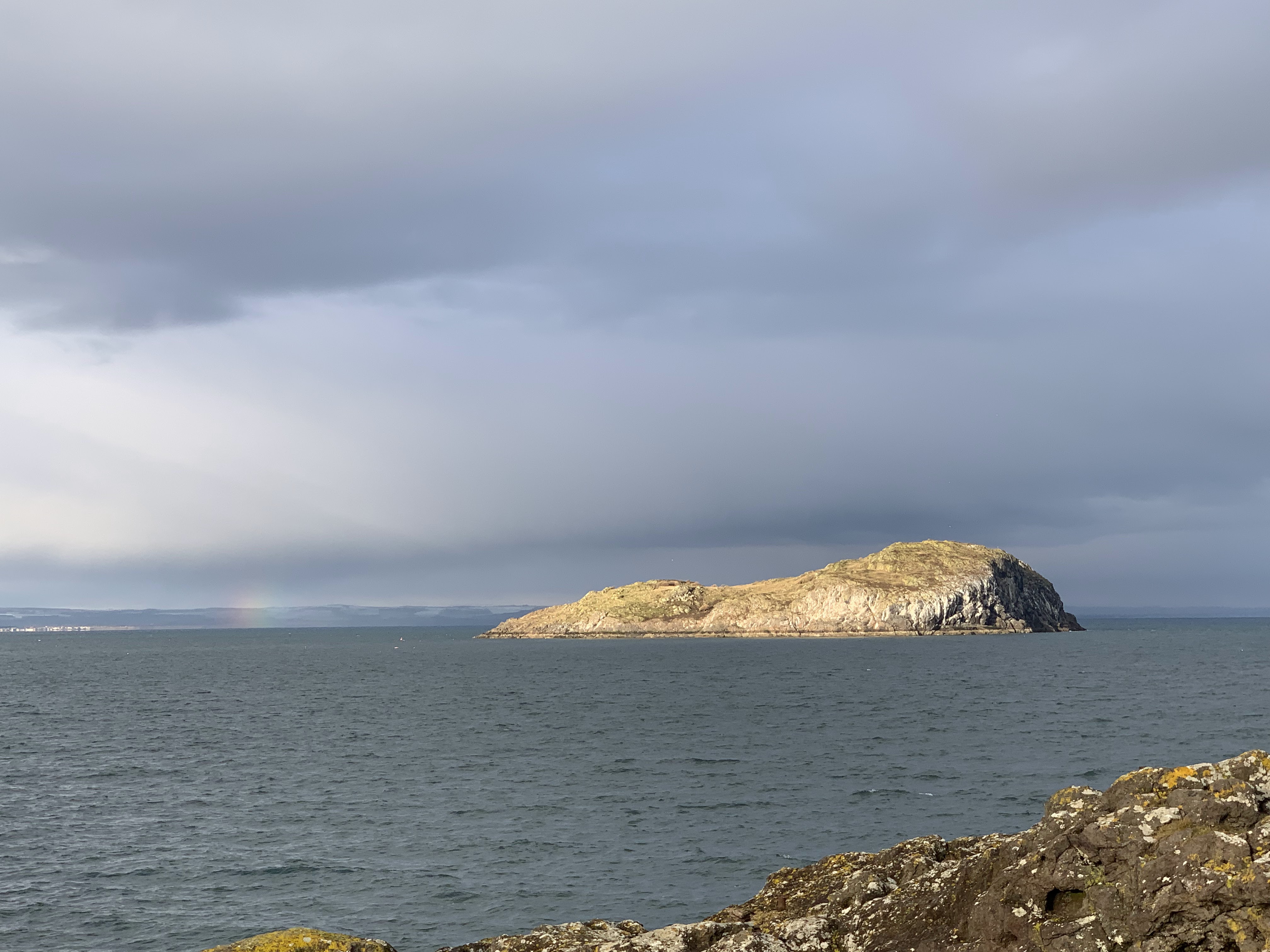 |
| A hint of a rainbow near islands in the North Sea Sunday off of North Berwick, Scotland. Gusty light showers swept the coast. Areas higher up and much further to the west had more snow. |
Elsewhere, it certainly did pile up. In Cumbria, a section of northwest England, more than 2,500 homes and businesses were without electricity after more than 8 to 10 inches of snow fell. People had to abandon cars on highways as snow rapidly piled up
Officials in parts of northern England, Wales and Scotland were warning of "ice rink Monday" as rain and snow froze on highways.
Today, I'll see the first truly stormy day in Edinburgh since I got here last Thursday.
They're expecting steady rains with wind gusts as high as 39 mph during the day. So we're going to the National Museum of Scotland since it's an indoor venue.
No comments:
Post a Comment