
 |
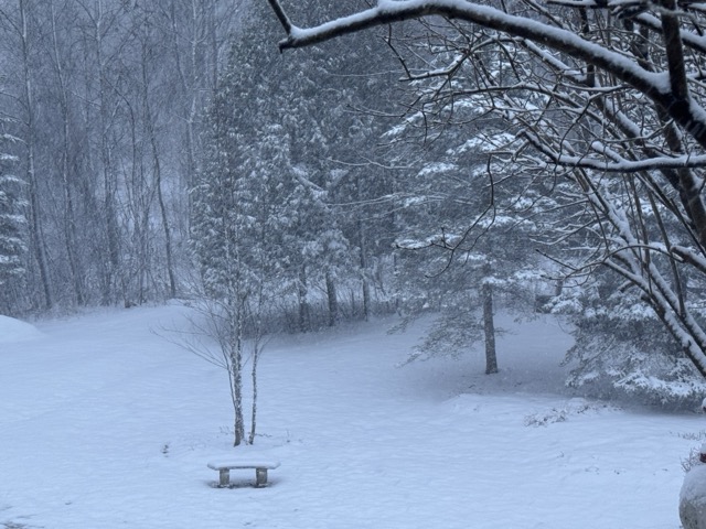
| After watching spring greens begin to emerge in my St. Albans, Vermont perennial gardens yesterday amid 70 degree weather, this is the scene that greeted me this morning. |
That's just 12 hours after I was comfortably standing in my back yard, in shorts and a t-shirt in 70 degree weather, surveying the nice spring green shoots of new growth beginning to emerge from my perennial gardens.
This is springtime in Vermont, folks
By the way, the 72 degree reading in Burlington on Thursday meant it was the third time it was 70 degrees in Burlington this month.
In the 140 or so years of records in Burlington, this is only the second time we've had three 70s by March 20. The only other time was in 2012.
Spoiler: It's going to be quite awhile before we see it reach 70 degrees around here again.
Get ready for more rapid weather changes starting this morning and continuing over the next few days. Those abrupt weather changes won't be as extreme as we saw between yesterday and this morning.
TODAY
As dawn broke, a cold front had passed through Vermont, and as expected,a storm was riding northward along that front.
It was still just warm enough for rain in eastern Vermont at dawn but that was poised to change to snow too.
It was snowing steadily west of the Green Mountains, and the roads were dicey for your morning commute. Those iffy roads are spreading eastward into the rest of Vermont.
But this won't last long at all.
 |
| Slow going once again amid snow and blowing snow this morning on this traffic cam grab from Interstate 89 in Georgia, Vermont. |
As of 7 a.m;, the back edge of the snow was entering the New York side of the Champlain Valley, and that trend will continue eastward into and through Vermont during the morning
This afternoon will look far, far different from this morning. Skies will clear out really quickly, the air will get dry and temperatures should get into the low to mid 40s in many spots.
It will remain blustery, but the strong early spring sun should melt most if not all the snow that fell this morning.
After a chilly night, we are in for a changeable Saturday, too
SATURDAY
Temperatures will rise quickly after dawn and for awhile, it will be a nice early spring day. It looks like temperatures will rebound into the upper 40s in cooler towns to the mid-50s in the Champlain Valley.
But clouds will come in ahead of the next cold front during the afternoon. They should be light, but by evening, the temperature will be crashing again. The light rain showers might change to snow showers, but they won't amount to much.
SUNDAY
Surprisingly, after this morning's rain and snow, and the little tiny bits of precipitation later Saturday, we could well be facing a bit of another fire hazard day Sunday.
It'll be cold, with highs only in the 30s, and winds will make it feel colder. Strong March sun and humidity levels as low as they can possibly be this time of year will dry things out quickly. If that old old dead grass and brush gets a spark or a carelessly discarded cigarette, you can have a fast-spreading brush fire on your hands
MONDAY
At least at this point, it looks like it's back to snow for your morning commute, so plan another iffy Monday trip to work just like this morning is. Chances are the snow will change to rain during the day as it warms up.
I don't expect a huge amount of snow and rain out of this, so don't count on a mega-snowstorm or a flood. It won't happen. It'll just be an inclement late March day, typical of the season.
NEXT WEEK
The rest of next week looks to be on on the chilly side with occasional risks for light rain and snow. But at this point - unless there's a surprise - it looks like we'll have no big storms until at least March 31.
No comments:
Post a Comment