
 |
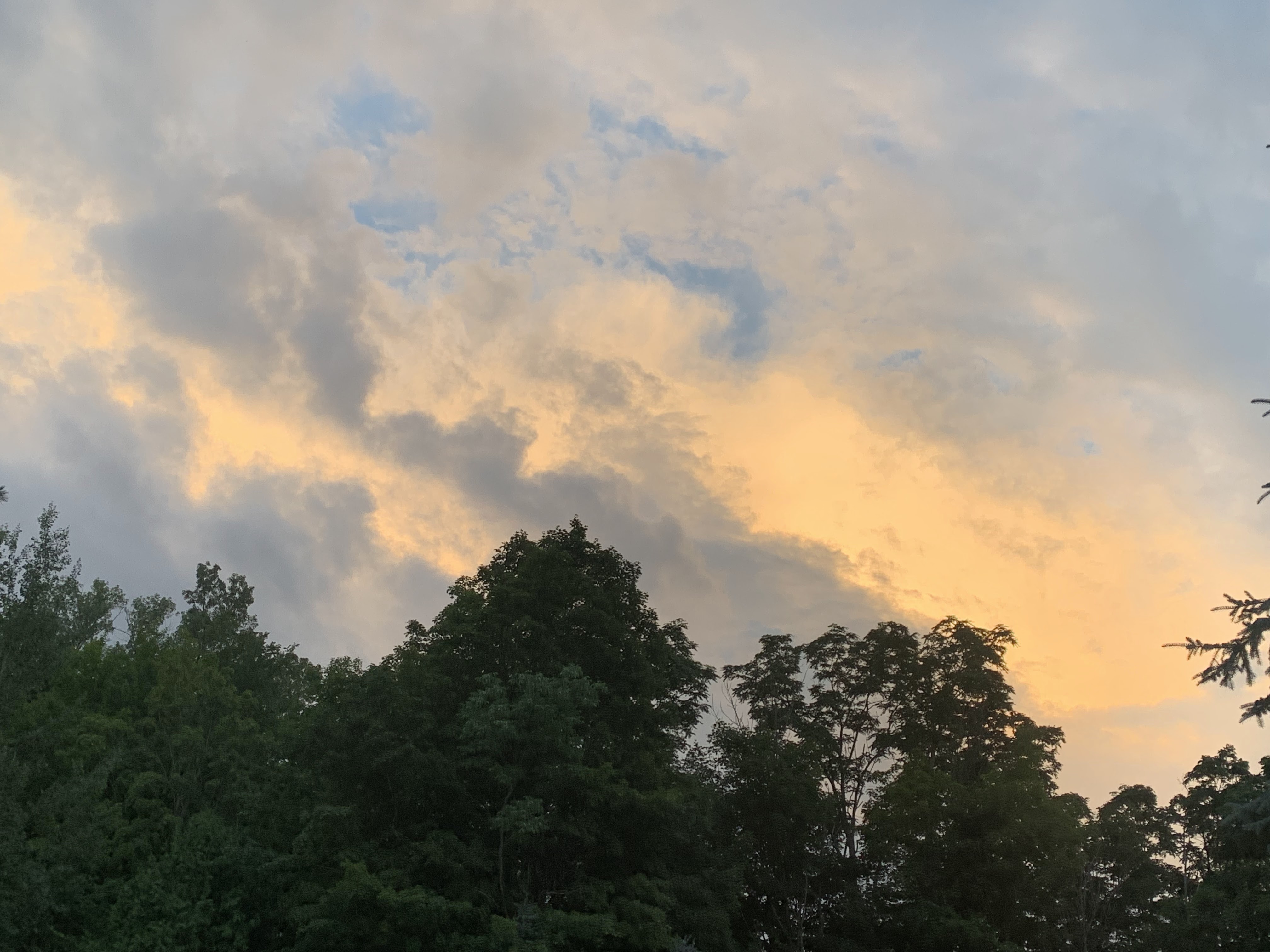
| Lightning crackles in a thunderstorm well east of St. Albans Friday evening. Storms in Addison County caused renewed flooding. |
On Friday, I thought we just might squeak through a day in the Green Mountain State with no new damage, but nope!
Storms fired up in the evening, mostly across central Vermont, and at least in a few spots, caused renewed flooding.
The epicenter this time was in Addison County, where parts of Route 7, Route 116 and Route 125 were closed around East Middlebury. I'm sure there were other road washouts and damage around East Middlebury and Ripton due to up to three inches of rain in a short time Friday evening.
There weren't many other reports - at least so far - of other major trouble elsewhere in Vermont from Friday evening's storms, which produced quite a light show from the lightning in those clouds after the sun set.
This all follows the confirmation of a tornado Thursday in northern Rutland County. In case you read one of my posts mentioning two tornadoes, take note of an important correction: There was only ONE confirmed tornado NOT two. Apologies for yesterday's error.
Today, I'm convinced we will get a break in the weather. An isolated storm might pop up over the mountains this afternoon, but anything that does get going will be pretty tame. But, it's a short break, and we have much more trouble for Sunday
SUNDAY FLOOD WATCH
Another disturbance and another flood alert is up for almost all of Vermont for Sunday. The incoming storm has similarities to the one that caused the calamity on Monday. But a very important note is we will receive much, much less rain as we did nearly a week ago.
That's the good news, if you're hunting for any glimmers of hope.
The bad news - and there's always bad news these days - is that we will receive enough rain to almost surely create new flash flooding in some parts of Vermont. The flood watch starts Sunday morning and goes well into the night.
The watch covers all of Vermont except the immediate Champlain Valley.
Total rainfall Sunday looks to be in the one to two inch range, but some unlucky folks could get more than three inches of rain. A few lucky devils could get less than an inch of rain. It's going to be pretty variable, with big differences in rainfall across Vermont.
 |
| Storms passing southeast of St. Albans, Vermont Friday evening at sunset made the sky look like a painting. |
Given how wet and unstable the ground is now, there's more than enough rain coming for many of us to set off more flash flooding. That could undo some of the repairs that have been started.
It looks like the rain will come in two batches. One goes through in the morning. It'll be mostly a steady drenching rain for a few hours, with downpours embedded in it. While this first round might touch off some flooding, it'll mostly serve to pre-soak things further for Round 2
Round 2 comes through in the afternoon and evening as a line of potentially torrential rain. This batch of rain has the highest chance of causing new problems, especially if heavy showers hit the same spot repeatedly.
As always, it's pretty much impossible this far ahead of the storm to figure out which towns get the heaviest rains and which are spared.
If you are in a flood prone area, even areas that escaped high water Monday and Tuesday, remain vigilant tomorrow and tomorrow night. Don't drive over flooded roads, of course. It's always risky to do that, but even more so now. They've just been patched up, and a lot of those fixes are temporary just to the roads could be reopened pending more permanent repairs.
That makes these areas more prone to washouts and damage.
At this point, it looks like most of the main rivers in Vermont will not go into flood. Downtown Montpelier looks safe from a renewed inundation, but of course officials will be watching the Wrightsville Dam spillway.
People are pretty optimistic there won't be an issue with that dam, but it's worth keeping an eye on.
One river that is flooding, and will continue to flood through this is the Otter Creek in Rutland and Addison counties.
It's already flooding in Addison County, thank's to torrential rains Thursday and Friday in the watershed between Brandon and Middlebury.
Further south, the Otter Creek is probably going to go back into flood stage at Center Rutland, but won't get as high as it did Monday and Tuesday.
Lake Champlain has risen by two feet since the start of the month and is now at about 98 feet. It will probably go up some more. At this point, it doesn't look like it will hit the flood stage of 100 feet, but the way this summer is going, you never know.
OTHER TROUBLE
Once we get through Sunday, there's more flood risks on Tuesday and possibly toward the end of the upcoming week. We're still trapped in the same basic weather pattern that took hold in late June.
Meteorologists are watching Tuesday's system, as it could slow down as it tries to move through New England, possibly prolonging the rain. No guarantee that will happen, but it's something to keep an eye on.
It's too soon to tell whether the rain late next week will be a troublemaker. Yet again, though, there's potential, so meteorologists are watching that one, too.
OTHER NEWS
As expected, President Biden approved Vermont Gov. Phil Scott's request for a major disaster declaration for Vermont. That opens the door for more federal assistance to help with the recovery. I just hope if there's new damage Sunday or in the upcoming days, that will be covered.
Typically, disaster declarations are amended if more damage occurs days after the main show due to a persistent weather pattern, as we are experiencing here.
In a sign of the times, downtown Montpelier streets are close to general traffic, at least for now. They've done that to give room for emergency vehicles and volunteers to help with the cleanup.
You also better check whether your town is still under a boil water notice. A lot of water treatment plants were disrupted, and drinking water might have some issues.
Despite the fact that today is going to be rather sunny and quite warm, I'd continue to stay out of swimming holes on the state's rivers and brooks. Water is still running fast and high, contaminants are probably still in the water, and debris on the river beds could cause injuries.
If you want to help, Vermont Public has a great page guiding you toward ways you can be Vermont Strong. Click on this link for more.
No comments:
Post a Comment