Southeastern Vermont tends to be a little more springlike, with generally clearer skies, a lower chance of snow or ice and warmer temperatures than most of the rest of the state.
Things are totally backwards now.
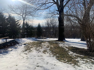
Southern Vermont is still deep in snow cover from that mega-snow on Saturday, with more than two feet in many spots.
Up in northwest Vermont, the four to six inches of snow that fell Saturday is disappearing fast. Bare patches in the snow up there today will rapidly expand.
Today, the backward trend continues with a huge temperature difference between southeast and northwest. If you like spring, go to the great not-so-white north.
If you're down in places like Brattleboro or Springfield, the best you'll do for afternoon highs today will be the mid and upper 30s, definitely on the cool side for late March. An overcast will add to the chill.
If you're in places like Alburgh, Swanton or Highgate in the northwestern tip of Vermont, temperatures could get close to 60 degrees this afternoon, with quite a bit of sunshine. Springtime balminess for sure.
In between those two extremes, there will be a gradient with 50s northwest, and 40s in central Vermont.
It gets worse. Southern and eastern Vermont will probably see a little freezing drizzle tonight. I suppose a few raindrops could come down late tonight up in the northern Champlain Valley, but they won't freeze
So yes, it's very strange.
THE REASON
The air is damp enough to yield some fog and drizzle, which will turn to freezing drizzle in many areas east of the Greens tonight as temperatures drop.
It's even a little worse in neighboring New Hampshire where a winter weather advisory is up for tonight for freezing drizzle.
This flow of chilly dank air will be hitting a road block in the form of the Green Mountains. This is low level cold air we're dealing with, mostly confined to the lowest few thousand feet of the atmosphere.
Cold air is more dense than warm air, so it tends to stay low. There's not enough of an east wind to really lift the air up and over the mountains.
Besides, any cool air that does make it over the crest of the Greens would flow downhill on the west slopes. Air flowing downhill compresses, and that tends to make the air warmer and drier. If you're west of the Green Mountains you'll probably see a bank of clouds peeking over the ridge tops from the east, but not really coming much further west than that. At least for awhile.
As the east winds persist, some of those clouds from the east will eventually win over later today, slowly blotting out the sun further and further west. Also, high clouds from a storm well to our west and an approaching, dying cold front will filter the sun as the afternoon wears on up in "tropical" northwest Vermont.
BEYOND TONIGHT
The cooler weather in southeastern Vermont will at least temporarily slow the snow melt. That snow will refrigerate things, keeping temperatures slightly cooler than they otherwise would be even after this chilly east wind dies out.
Meanwhile, any sun we get in the coming days will heat the increasingly bare ground, and then the air in the northwest.
Even so, the temperature contrast will diminish. It'll be in the low 50s northwest tomorrow and in the upper 40s to near 50 southeast.
Thursday is a wild card, though. A new storm along the East Coast might create a new northwest to southeast weird contrast in Vermont Thursday and Thursday night.
The path of the storm is still really open to question, with various models giving the Green Mountain State anything from absolutely nothing to a total soaker with possible snow.
There's a chance we could have another situation in which northwestern Vermont is quiet and mild, while the southeast has a cold rain or even wet snow.
Very unsure on this one, so stay tuned.
By the weekend, things should go back to how it should be: Forecasters expect near normal temperatures, which afternoon highs little cooler in northern Vermont than in the south.
As it should be, for a change.


No comments:
Post a Comment