
 |
| Total snow in and near Vermont as of about 3 p.m. These aren't the final totals as more snow was falling. Notice the large area of south central Vermont with the deepest snow. |
As of late afternoon, Ludlow had already reported 22 inches, White River Junction 20 inches and North Hartland, 19. It was still snowing hard in those regions, too.
In the rest of northern Vermont, except the northwestern part of the state north of Burlington, it looks like this one will work out as advertised, with most of these areas looking in line to see 10 to 18 inches.
The bust zone was the northern Champlain Valley. Dry air aloft limited snowfall, and also created very small snowflakes that did not accumulate readily. As of 6 p.m. St. Albans had only received 6.1 inches of snow, and precipitation was just about to end there.
We'll have final snow totals tomorrow.
EFFECTS
Not surprisingly, the roads in Vermont and surrounding areas have been awful all day, with lots of slide offs and crashes reported, 'natch.
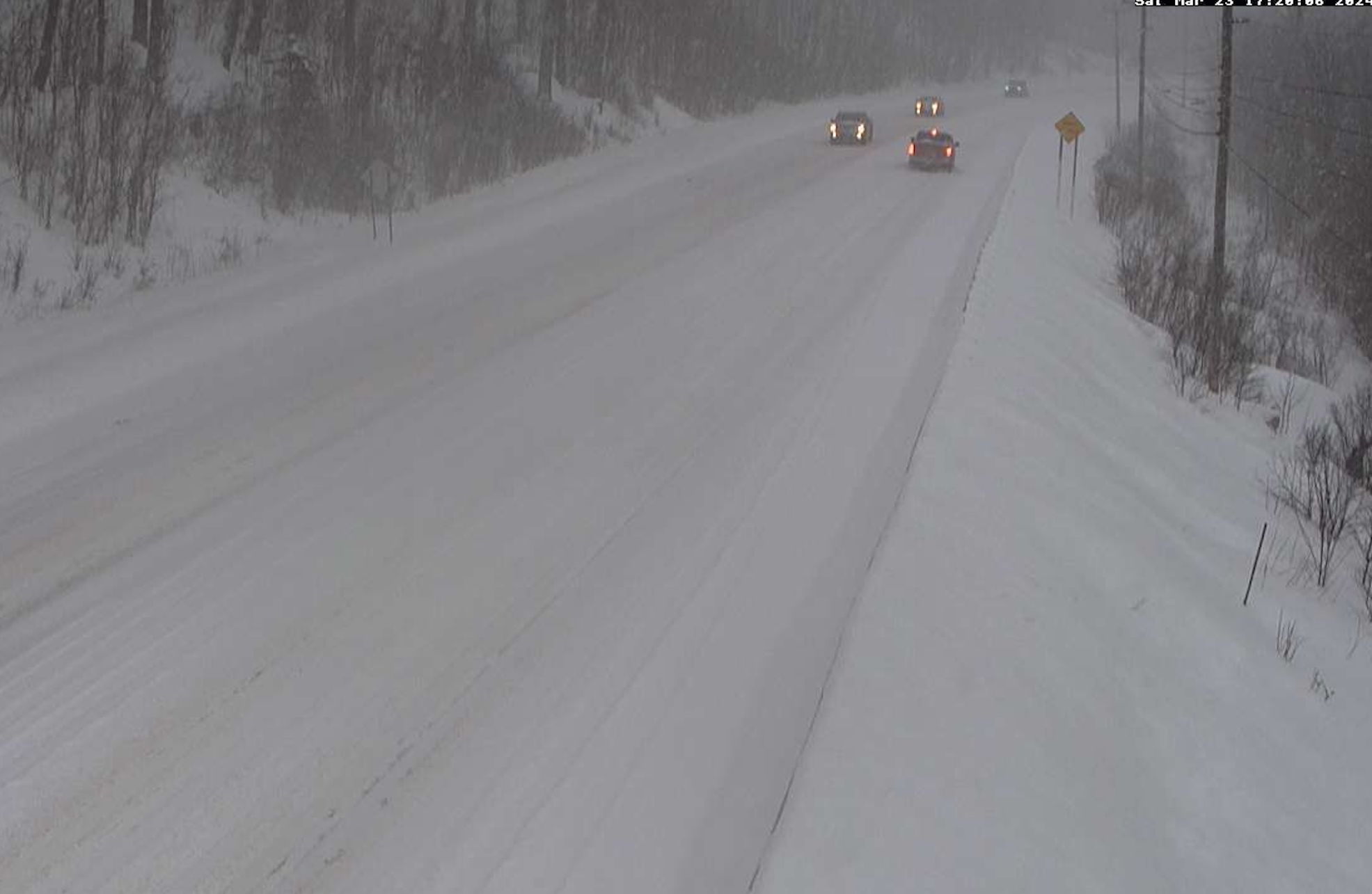 |
| Screen grab of traffic camera along Route 4 in Mendon Saturday afternoon. Not easy going. |
One big break was the fact the snow wasn't as wet and heavy as forecasters thought it would be.
As of 5:30 p.m today there were pretty much no power outages in Vermont. A few might crop up this evening, but we won't have that 10,000+ outage mess we've repeatedly had since last fall. We caught a break there.
NEXT UP
The snow will end northwest to southeast this evening, so the last places to see the snow quit will be the ones that already have seen the most snow.
By midnight, the snow will be out of our hair. It will be another blustery and cold night, with some blowing snow around.
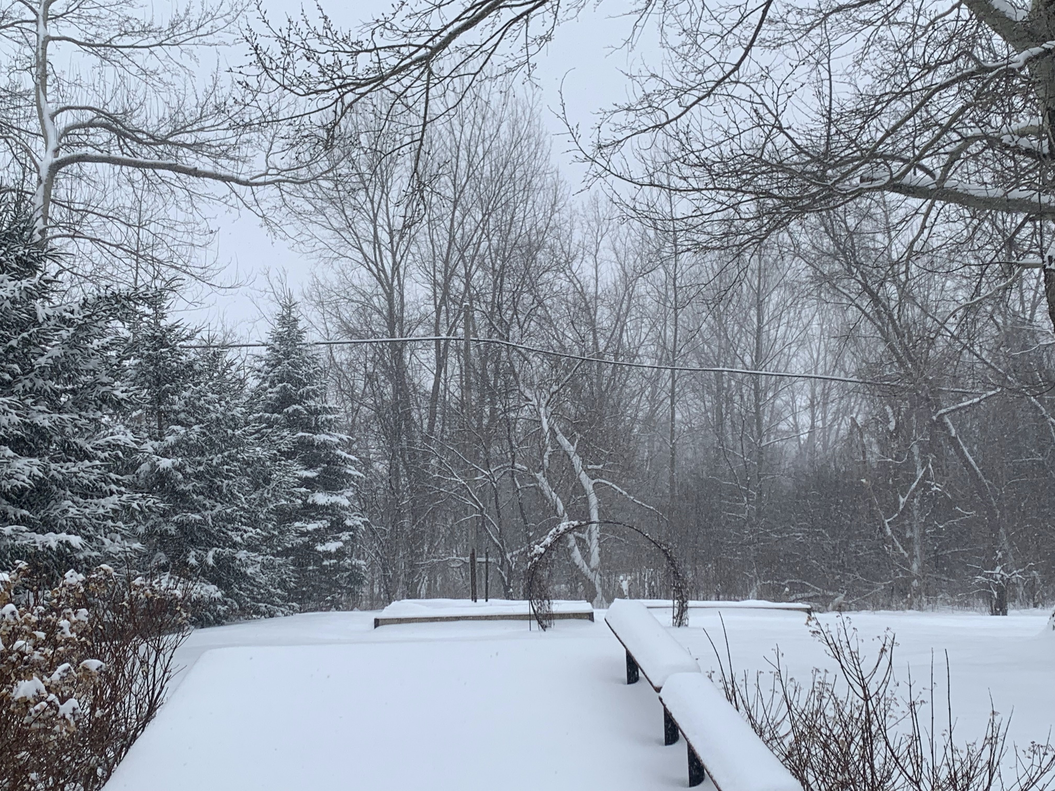 |
| Just a mellow snowfall in St. Albans, with just 6.1 inches new snow as of 6 p.m. |
Expect TONS of traffic on the way to the ski areas Sunday morning. People have been waiting all winter fora storm like this, so the resorts are going to be absolute zoos on Sunday.
Like I mentioned this morning, backcountry skiers, riders and hikers ought to be careful. I wouldn't be surprised to see at least a couple small avalanches on steep slopes up in the Green Mountains.
It IS going to be a gorgeous day to go out and either play in the snow or clear it out. Highs will be in the low to mid 30s for most of us. That's chilly for late March. But the high sun angle and light winds will make it feel warmer.
Sunday is going to be absolutely blinding, too. That high sun angle reflecting off that fresh, deep snow is going to be stunningly bright. Sunglasses are absolutely de rigueur on Sunday.
A couple public service announcements: If you have a fire hydrant near your house, dig it out and clear away the snow at least a couple feet away from it. Also, if you have people nearby who are old or ill or disabled, and you're healthy, help them clear the snow. Good deed for the day, right?
Beyond Sunday
It's going to take time for the snow to melt, since there's so much of it in most of Vermont now. But met it will, because it is spring after all.Highs Monday should reach the low 40s. Tuesday through Thursday will be even warmer, with some low 50s popping up in the warmer valleys.
So it's a return to mud season.
I still don't see an immediate threat of flooding, unless some sort of storm takes us by surprise. The forecast for the next week is fairly dry, with only some showers around Wednesday or Thursday. We're lucky there's no very wet, very warm storm in our near future.
That's especially good since it's already been a very wet March. Through 4:30 p.m. today, Burlington had 3.86 inches of rain and melted snow this month. If it stopped now, it would still be the fifth wettest March on record.
No comments:
Post a Comment