
 |
| Dramatic thunderstorm clouds near Sheldon, Vermont late Sunday afternoon |
That's one of the things I love about summer. The sky is almost always more fun to look at than in the winter.
The pattern was the same as it's been since about Friday. Upper level low pressure was parked nearby. That's a pool of chilly air aloft.
If you get that weather pattern in the winter, all you usually end up with is a flat overcast and snow showers.
In June, you have the sun at peak strength. The surface warms quickly as soon as the sun comes out. The air cools quickly with height with the upper level low around. The updrafts inspired by the sun condense into those big billowing clouds that: A. Are often very pretty and dramatic B. Create showers and thunderstorms (I always like hearing thunder for some reason) C. Offer cool surprises.
So it was Sunday, with black clouds gushing downpours and pea sized hail right next to bright sunshine and deep blue skies over emerald green Vermont forests. It was one of those days that were simultaneously inclement and gorgeous, and even exciting, at least for a few moments.
THE COOL SURPRISE
One thunderstorm that passed through St. Albans, Vermont Sunday afternoon had a literal strange twist. The storm fell well short of severe limits. If featured a few flashes of lightning, rumbles of thunder, a torrential but rather brief downpour and outflow wind gusts I'd estimate at a very tame 25 mph.
 |
| An apparent "cold air funnel" forming over St. Albans, Vermont Sunday afternoon. |
A section of clouds were clearly spinning, and there was a sort of bulbous-shaped funnel type thing associated with it.
I was witnessing what was likely a cold air funnel. WPTZ Meteorologist Matt DiLoreto took a look at a video I shot of this, and concluded I was probably watching a cold air funnel.
What I saw was not a wannabe tornado or anything dangerous. A "real" tornado involves a supercell thunderstorm within a soup of very warm, very humid air.
The supercell usually spits out damaging winds and hail and very often develops a large scale rotation that can easily be detected on radar. This spin can sometimes translate into a dangerous tornado.
As you noticed, Sunday was not especially warm or humid.
Cold air funnels can form in showers and weak thunderstorms when the air aloft is much colder than normal. That was certainly the case Sunday, as an upper low - that pool of chilly upper altitude air - was centered nearby.
These spins in the clouds or funnels happen with a steep lapse rate, meaning temperatures cool with height at a greater rate than usual. The spin associated with cold air funnels is pretty weak and small, and weather radar usually doesn't detect it. Cold air funnels almost never touch down and are not dangerous. Just kinda fun to watch. So I had a nice treat Sunday afternoon.
MORE RAINS
The storms were able to squeeze out more locally heavy rain, so some areas are pretty soaked from the showers and storms that started Thursday. Between Friday and Saturday, I collected another inch of rain, making the total here in St. Albans since Thursday evening an impressive 3.8 inches.
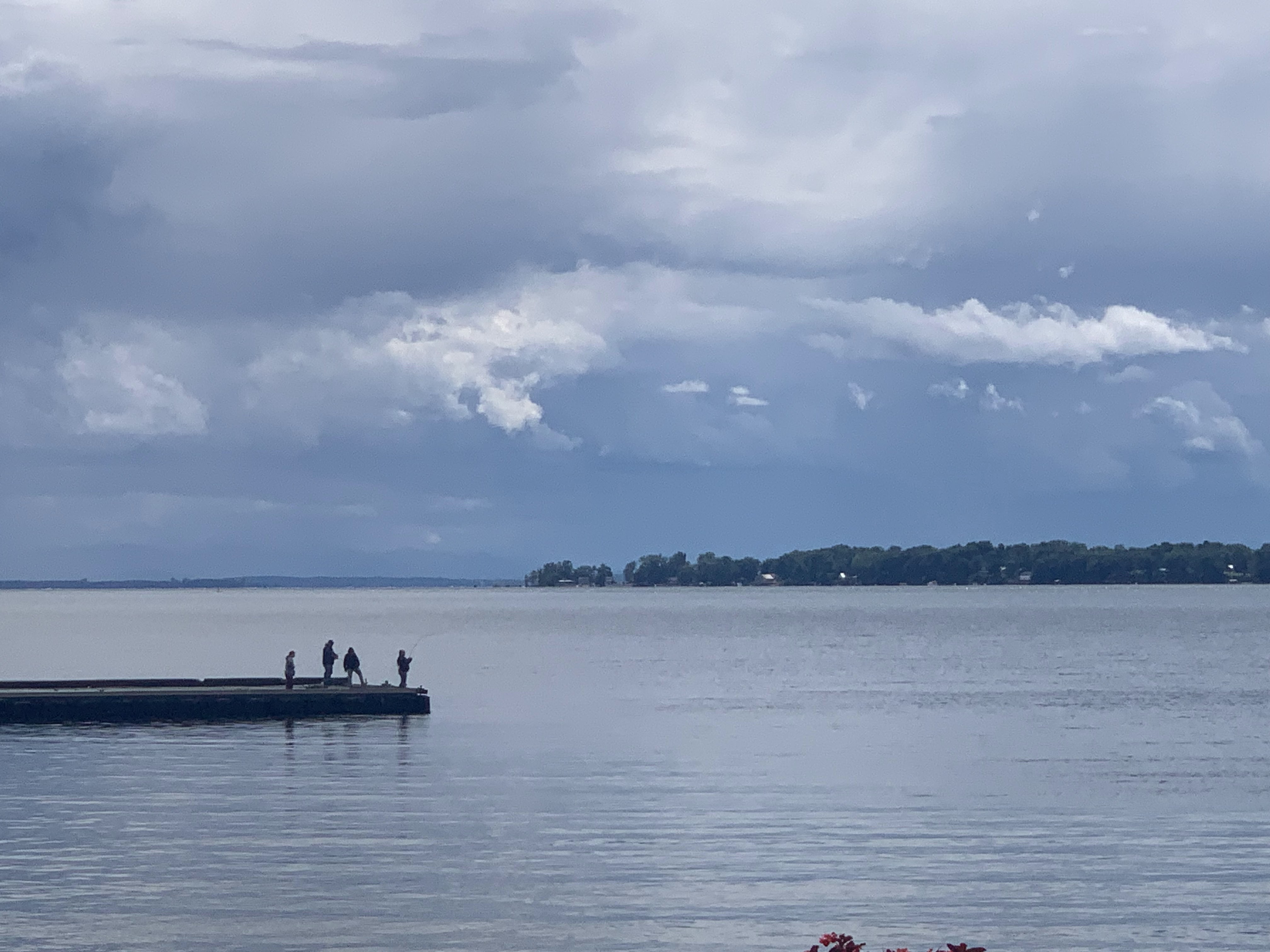 |
| Storm clouds loom over fishing enthusiasts at St. Albans Bay, Vermont Sunday afternoon. |
I think a few areas a short distance to my north and east have had four or five inches. I noticed some very minor flash flooding around Sheldon Sunday just after an especially intense downpour had passed.
We're near the end of the rainy regime as that pesky upper level low begins to depart. We had quite a few showers around northern Vermont this morning. It was raining at a pretty good clip at around 6:45 am here in St. Albans.
I think those showers will be fewer and further between by this afternoon so you'll be able to get more done outside.
From there, we have a brighter week with a noticeable warming trend in store. Tuesday will be in the 70s, Wednesday will get close to 80 and by Thursday it should be in the 80s with higher humidity.
Another cold front appears to be due Friday, so we'll need to watch that for showers and storms. It might turn briefly cooler, but not chilly by next weekend.
Long range forecasts, though, suggest any comfortable weather next Saturday or Sunday will be fleeting. If these forecasts are correct, (and that's a big if as forecasts beyond a few days can change dramatically) we could be seeing some awful heat and humidity in a little more than a week from now,
If that happens, I don't know how long it would last or how bad it'll get. But take advantage of the cool weather now to do anything outdoors that would work up a sweat.
No comments:
Post a Comment